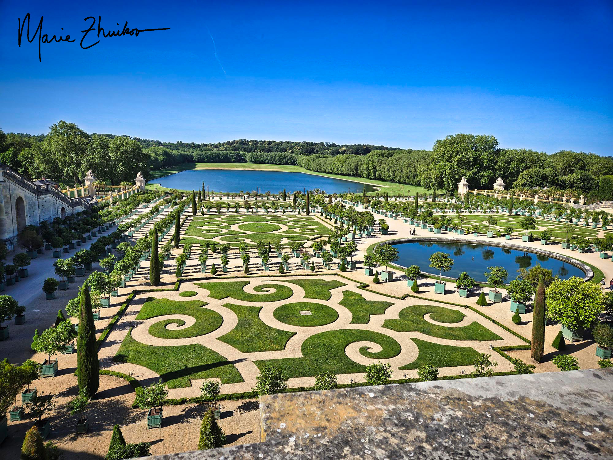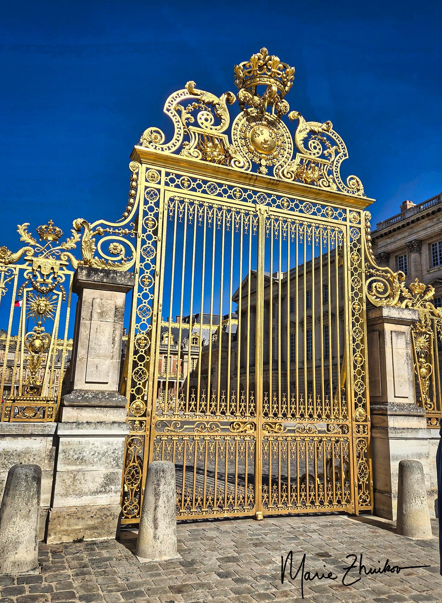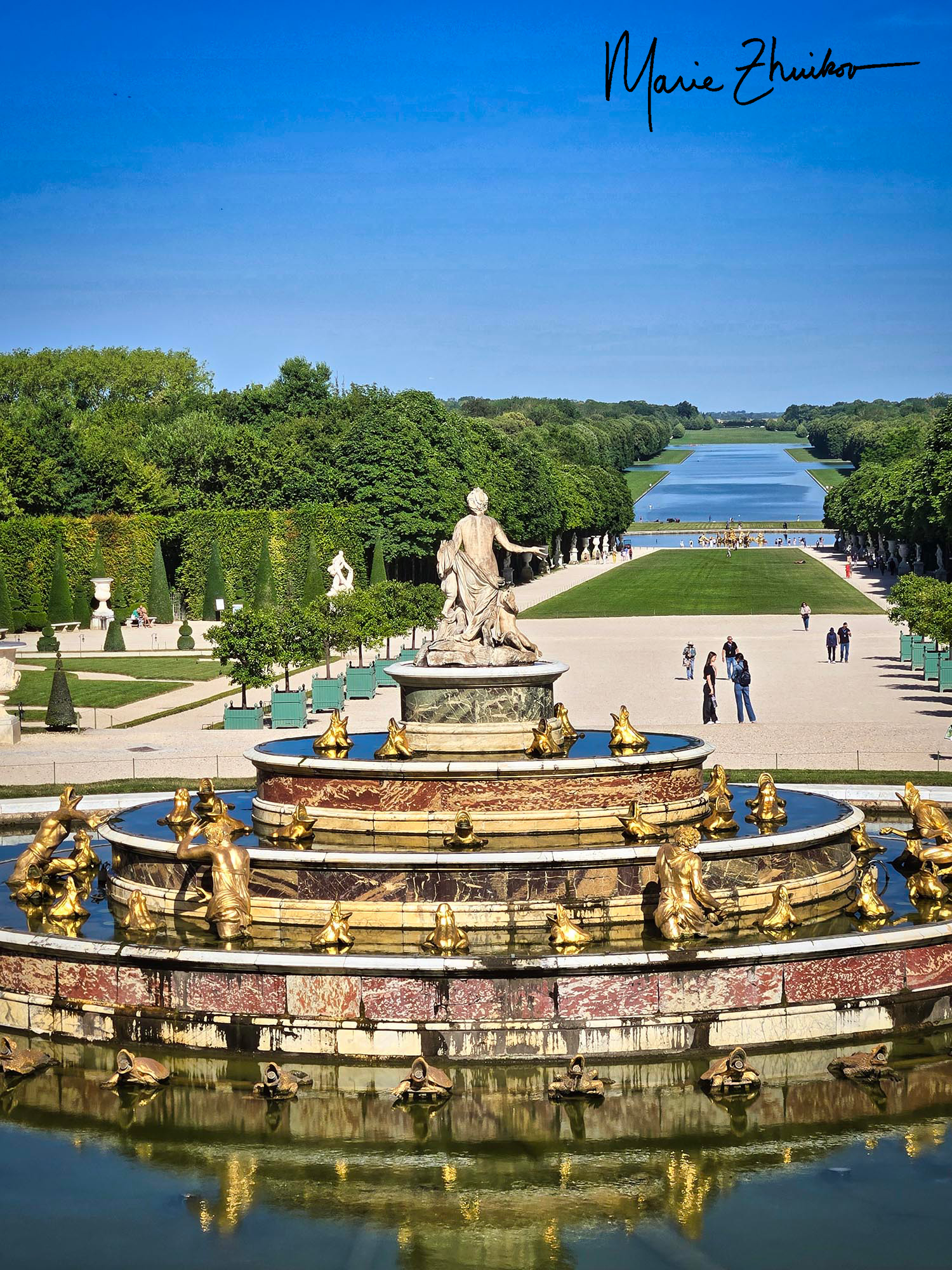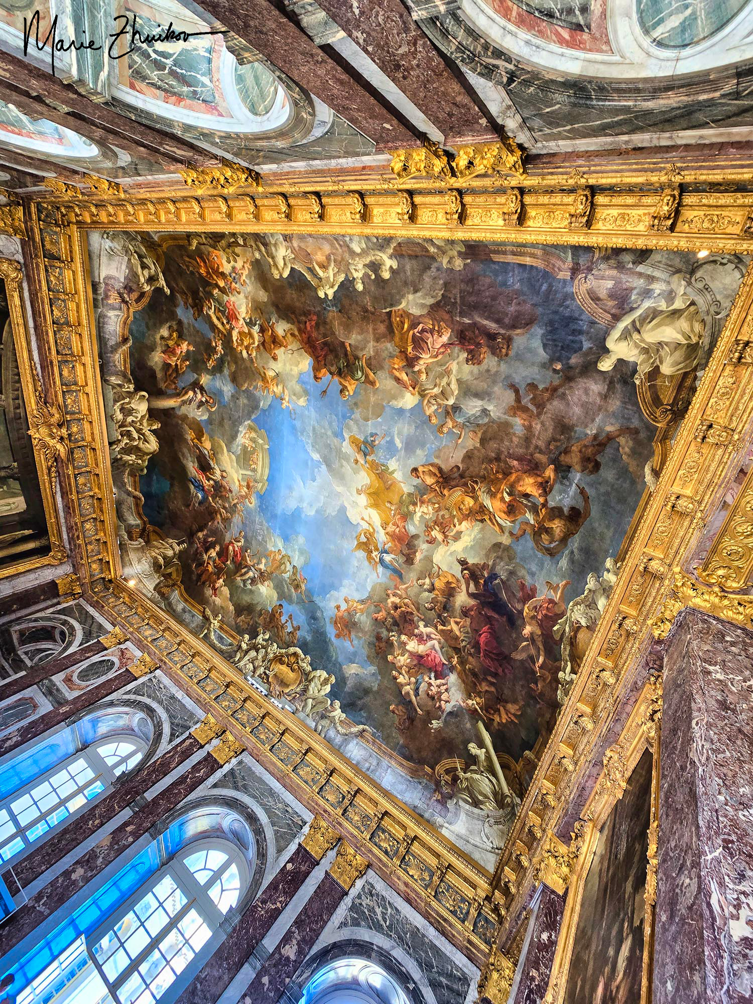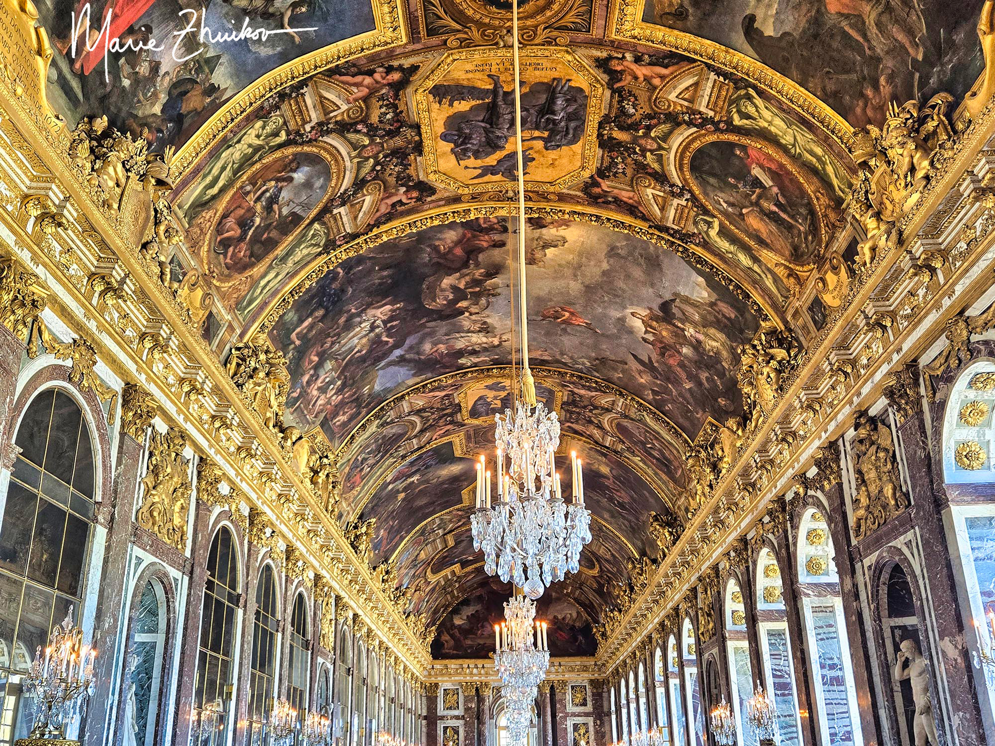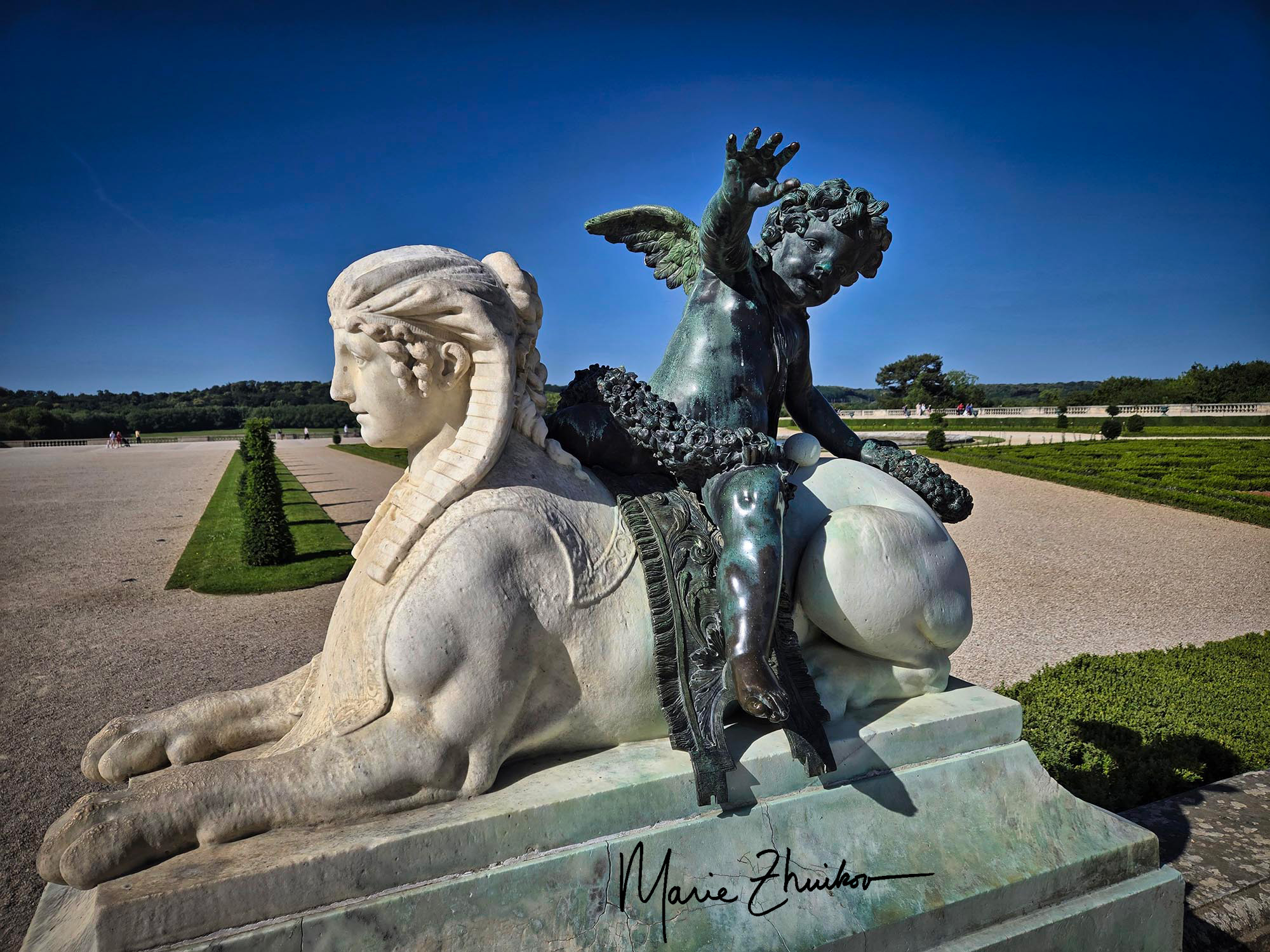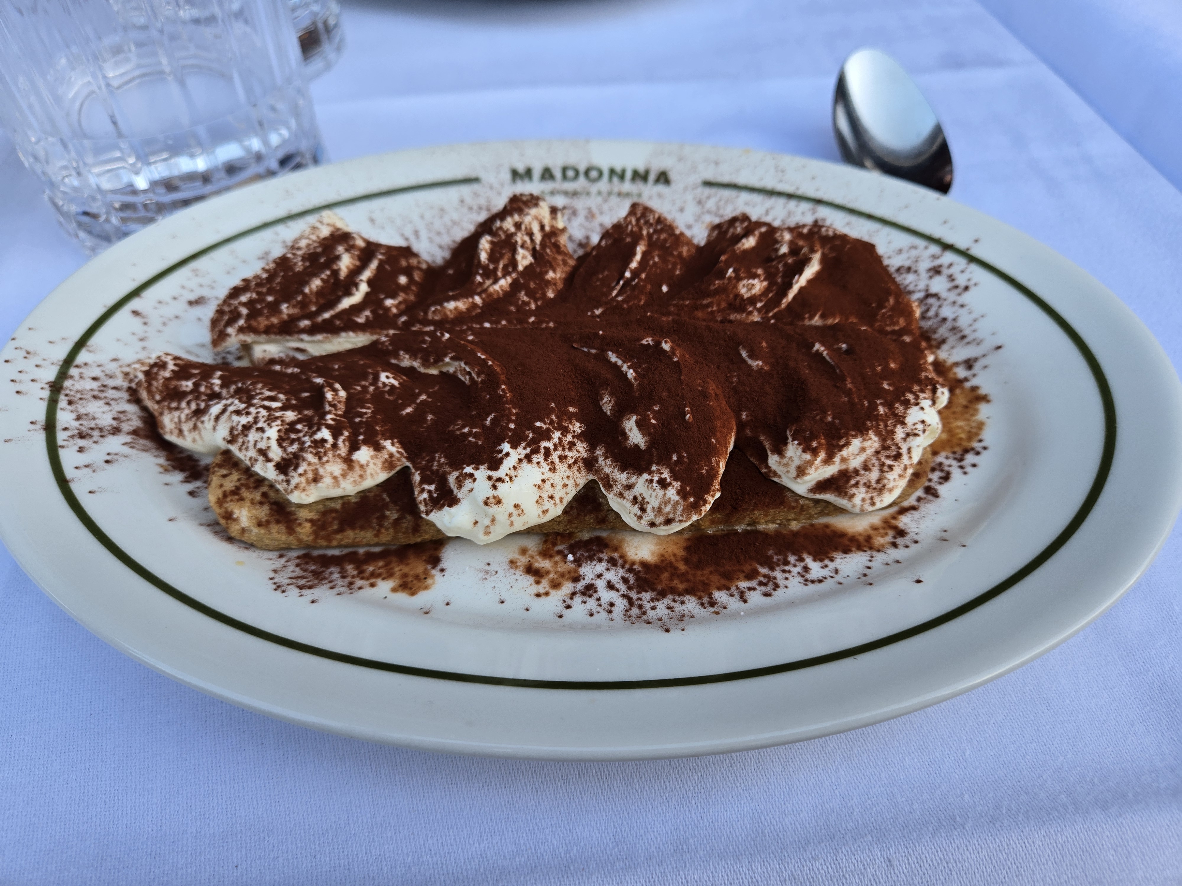
I fell asleep with a head full of grandiose images of Versailles. In the morning those images faded, and I awoke with a mission: to find and eat a genuine Parisian chocolate croissant. Before our trip, many people asked what I was looking forward to most in France. I didn’t answer with a standard reply like the Eiffel Tower or Versailles. For me, it was eating a chocolate croissant. Yes, that’s all it takes to make me happy.
You see, in the U.S., I can’t eat anything made with wheat (or corn). From past travels, I know I have good luck eating wheat in Russia and the U.K. Today was the day I put France (and my digestive system) to the test.
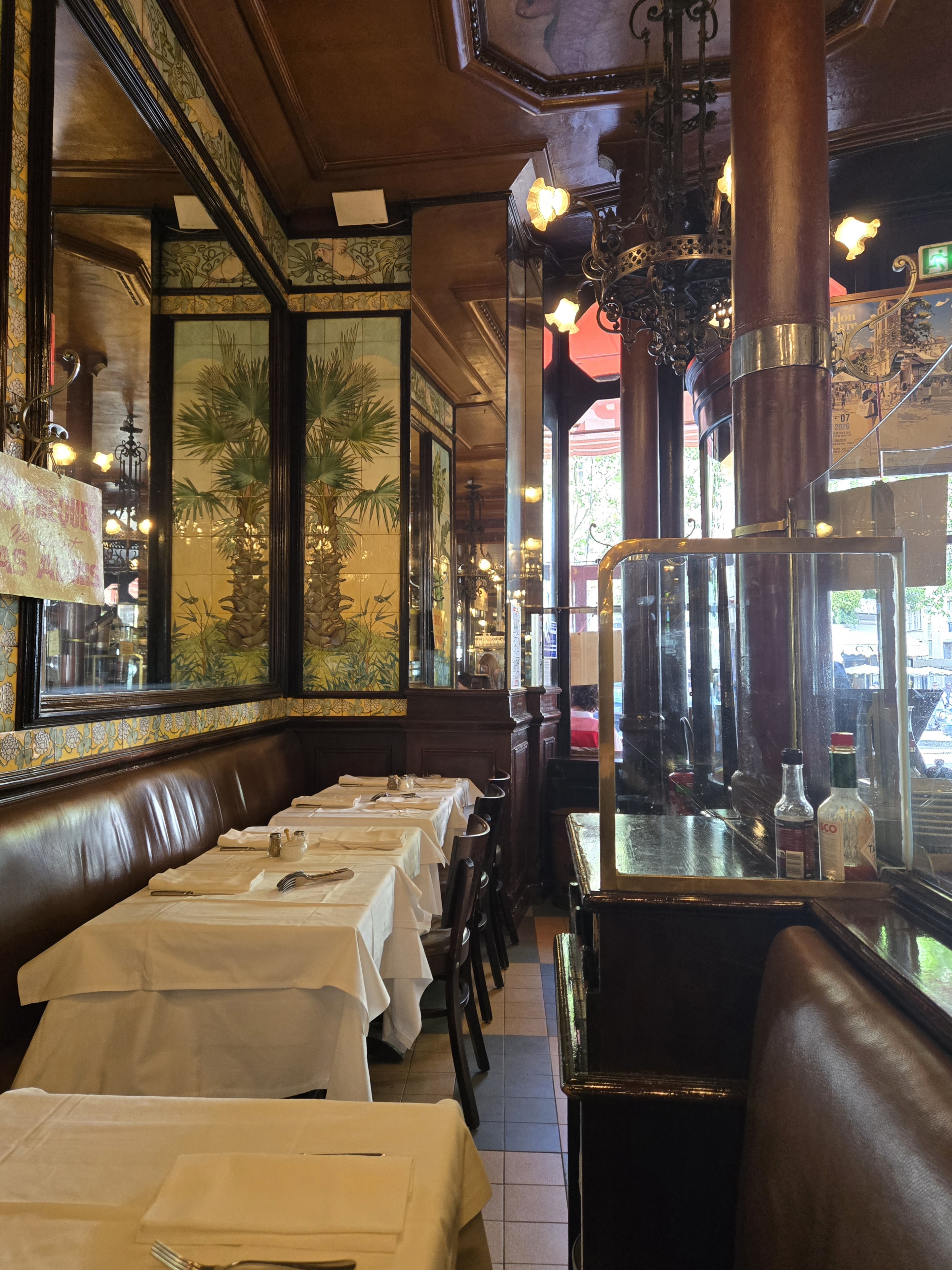
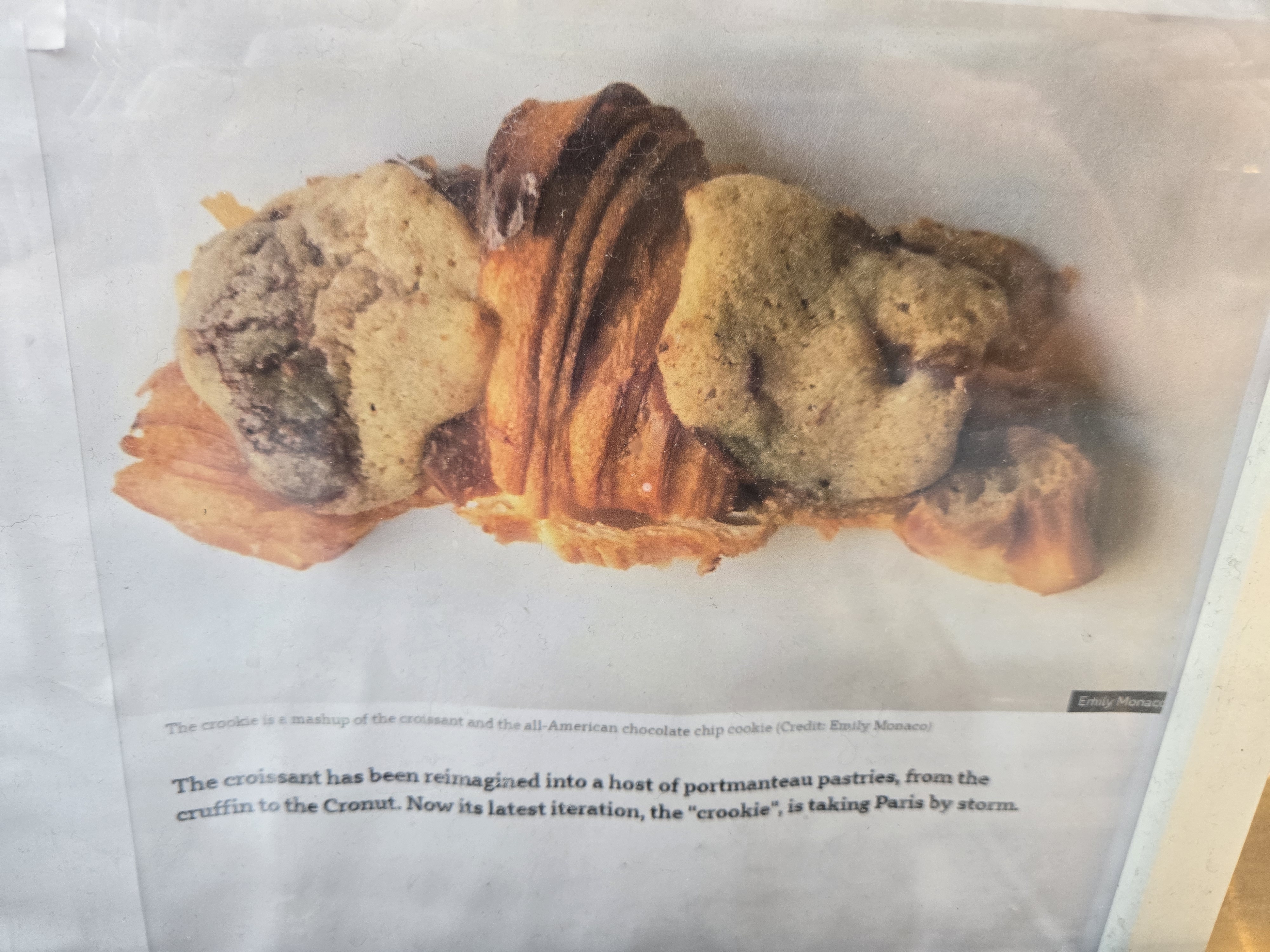
A bakery was just around the corner from our hotel, so I hotfooted it over there and made my purchase. I was almost sidetracked by a new type of croissant called a “crookie” that’s all the rage, but I stuck with classic chocolate. (A crookie is a combo croissant and chocolate chip cookie.)
I was not disappointed! The croissant was so crunchy, buttery, and rich with chocolate. If I had to die in Paris now, I could die happy.
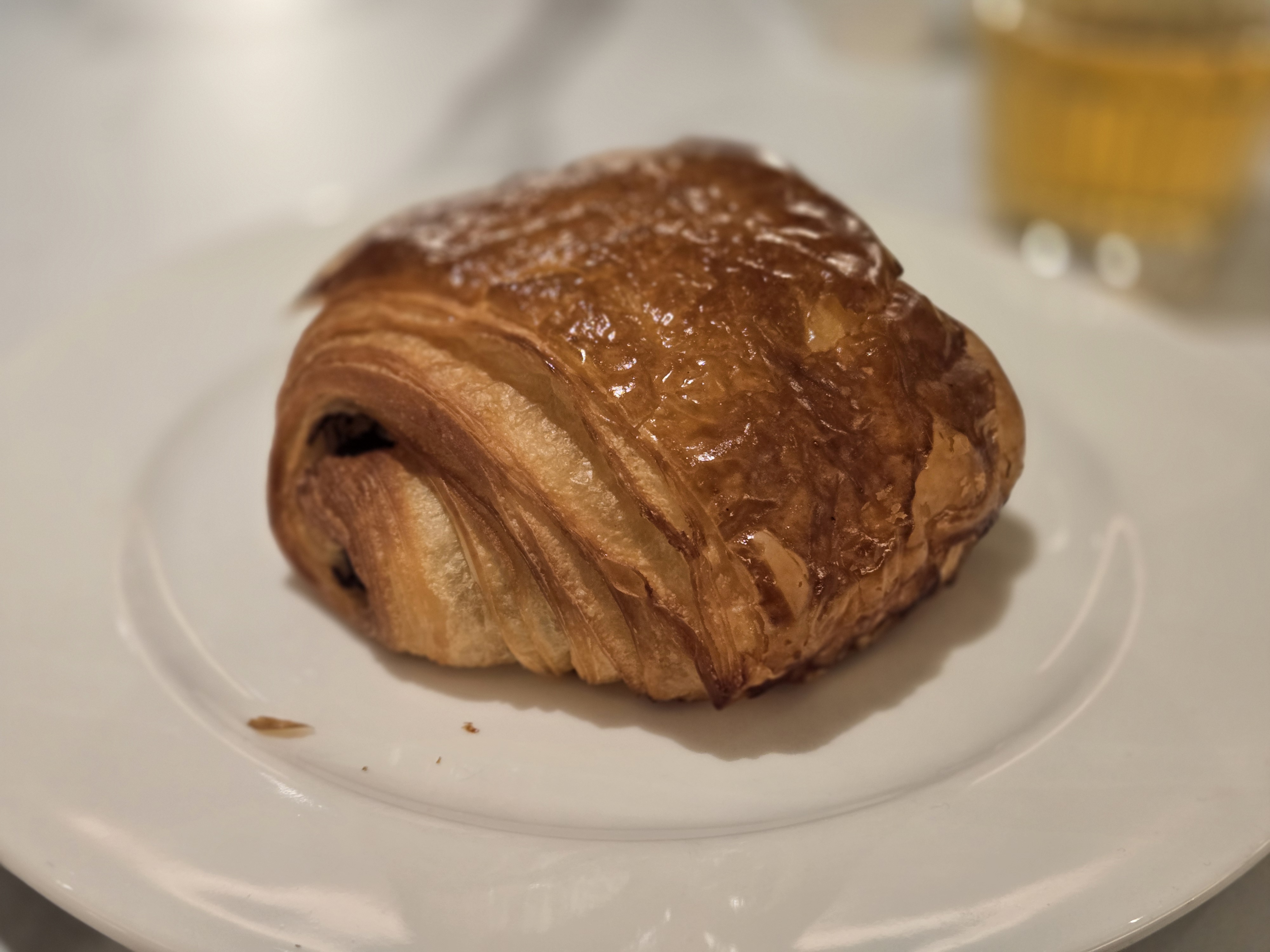
I’m also happy to say that my digestive system suffered no ill effects from the wheat, so I was free to eat like a normal person for the rest of the trip! I’ve read articles about the phenomenon of U.S. tourists in Europe who can eat wheat when they can’t at home. It may be because the wheat used in Europe contains less gluten than U.S. wheat. It could also be because fewer pesticides are used on the crop in Europe.
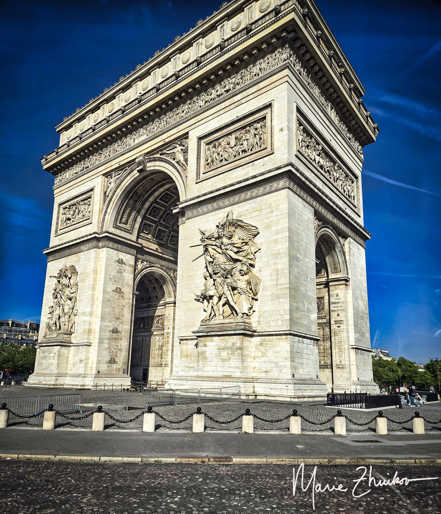
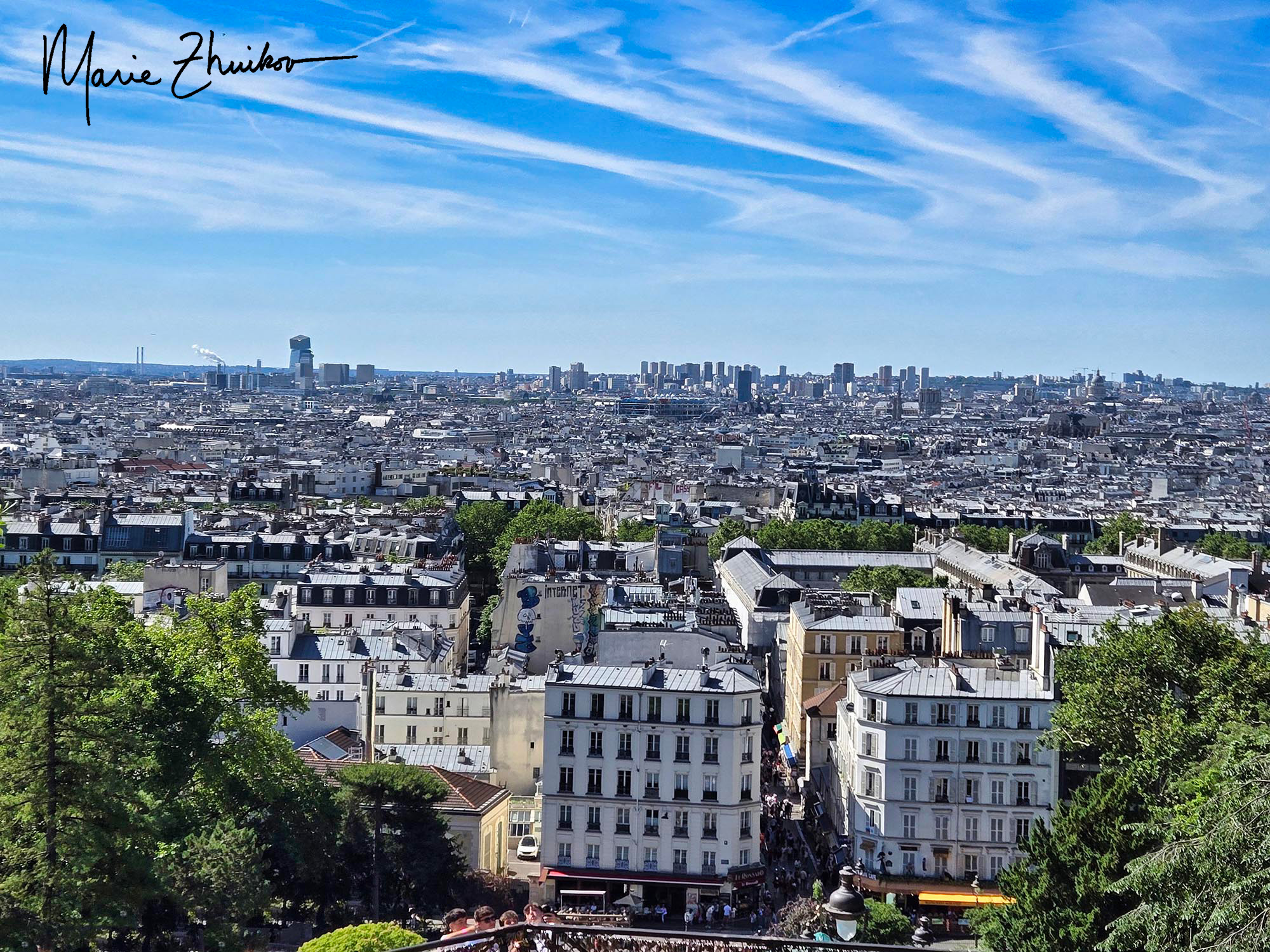
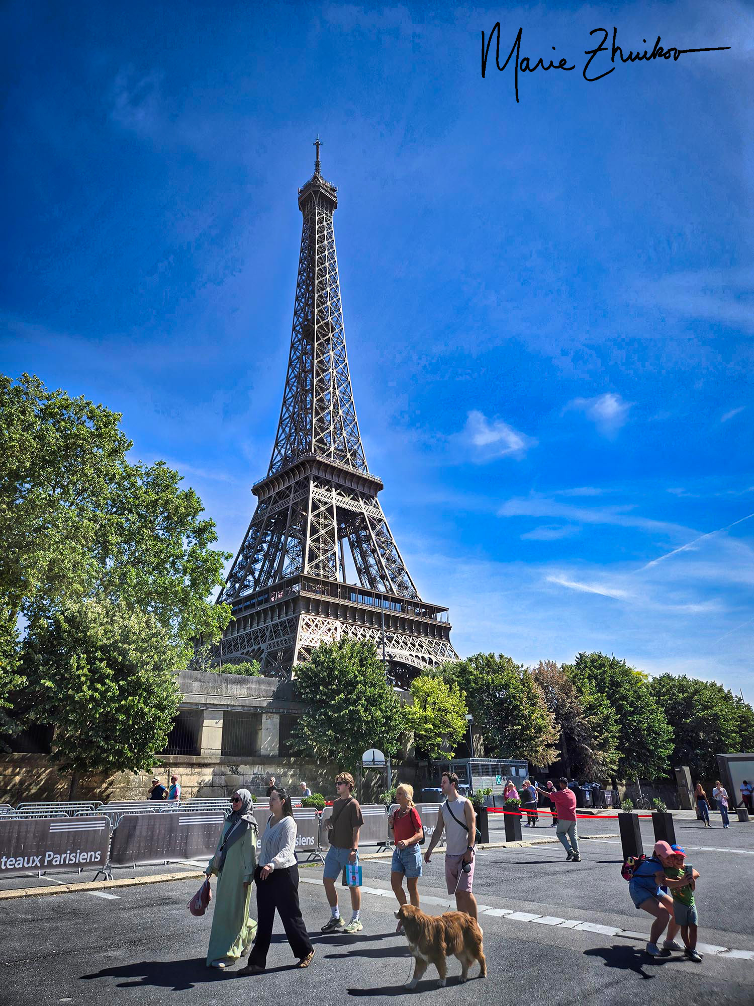
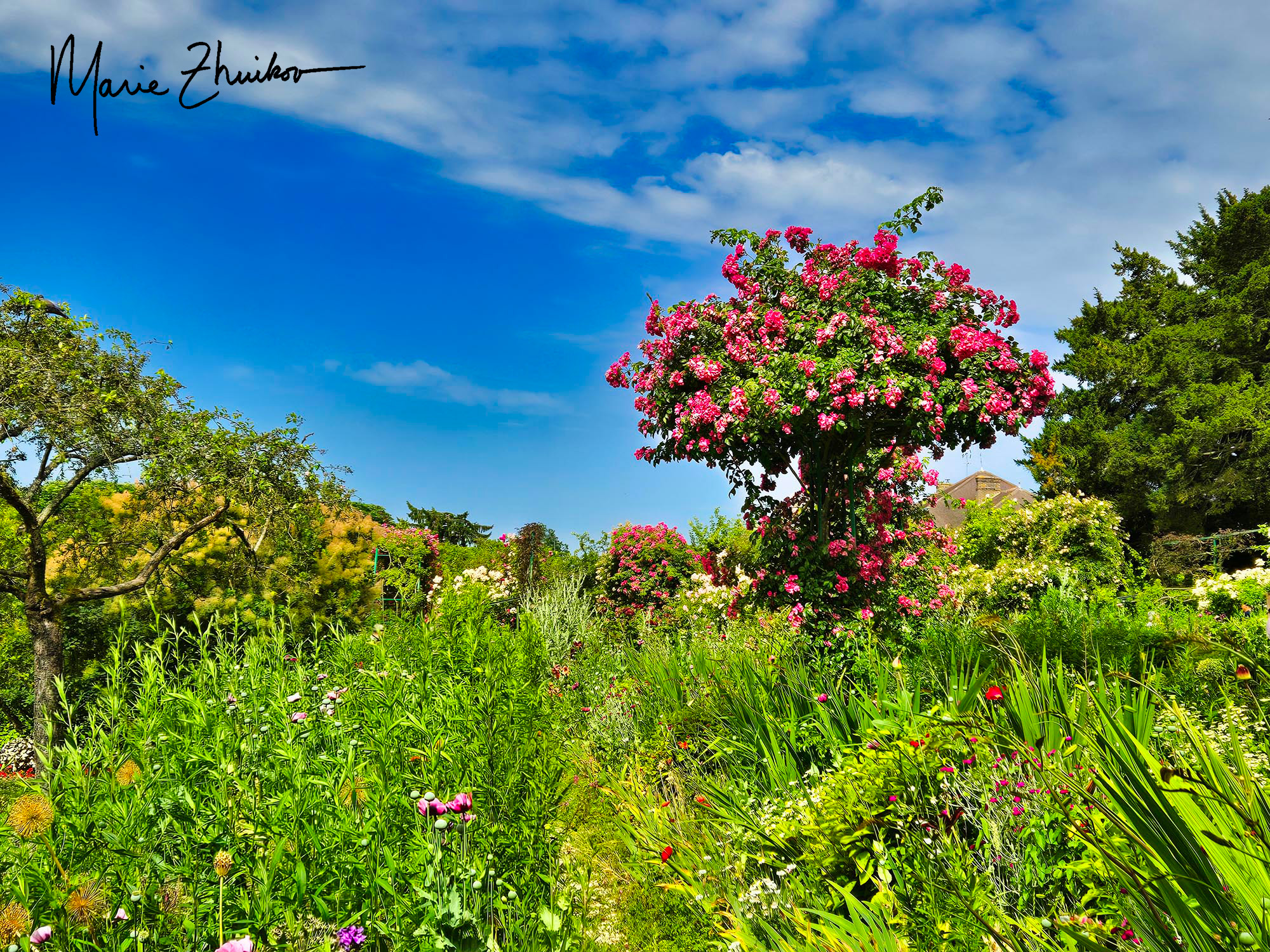
Powered by croissant fuel, I rejoined Russ and the tour group for a bus ride to our next stop, which was the town of Giverny – site of Monet’s home and gardens. On our way out of Paris, we passed the impressive Arc de Triomphe.
Giverny was more rural than I expected, such a charming village. A long line of tourists were waiting to enter. We had to walk through them to get to the group entrance beyond. I made it through the gauntlet, but others farther back in our group line weren’t so lucky. They said an angry German woman stuck out her arm and wouldn’t let them pass. She must have thought they were cutting the line. Somehow, they convinced her to let them pass. They rejoined our group, shaken by the rudeness, and in a bit of disbelief.
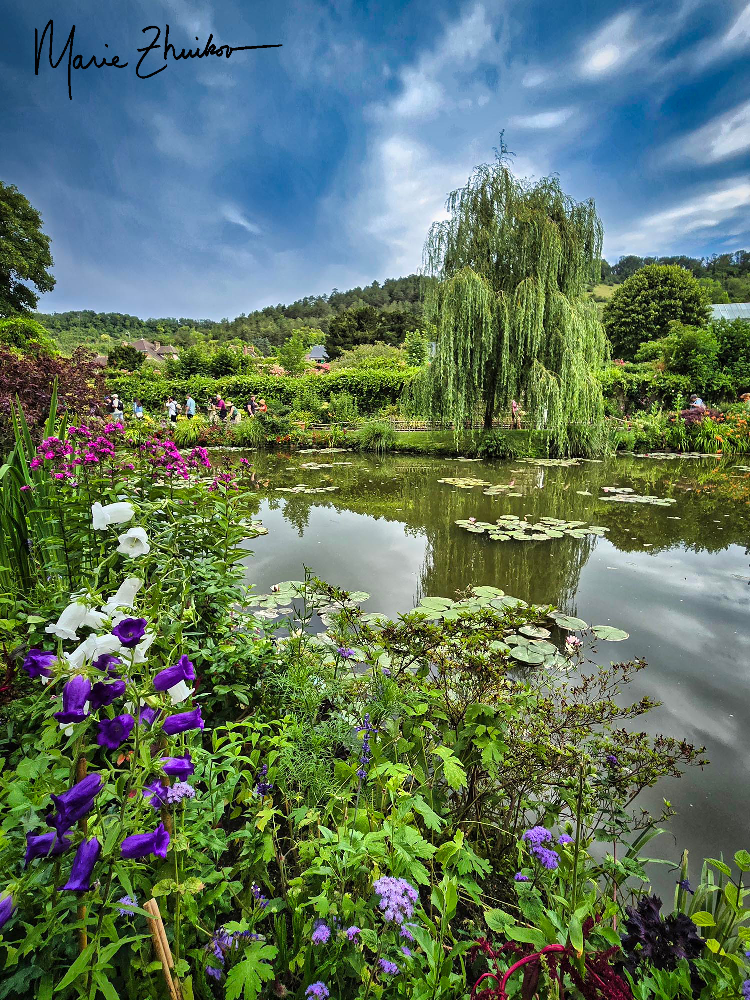
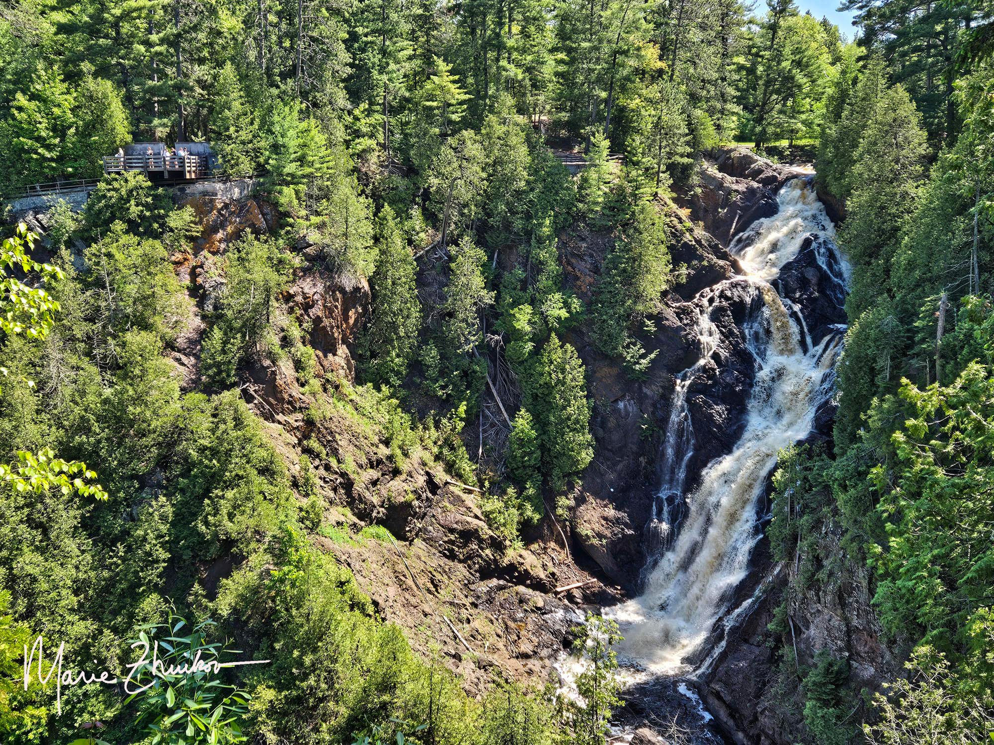
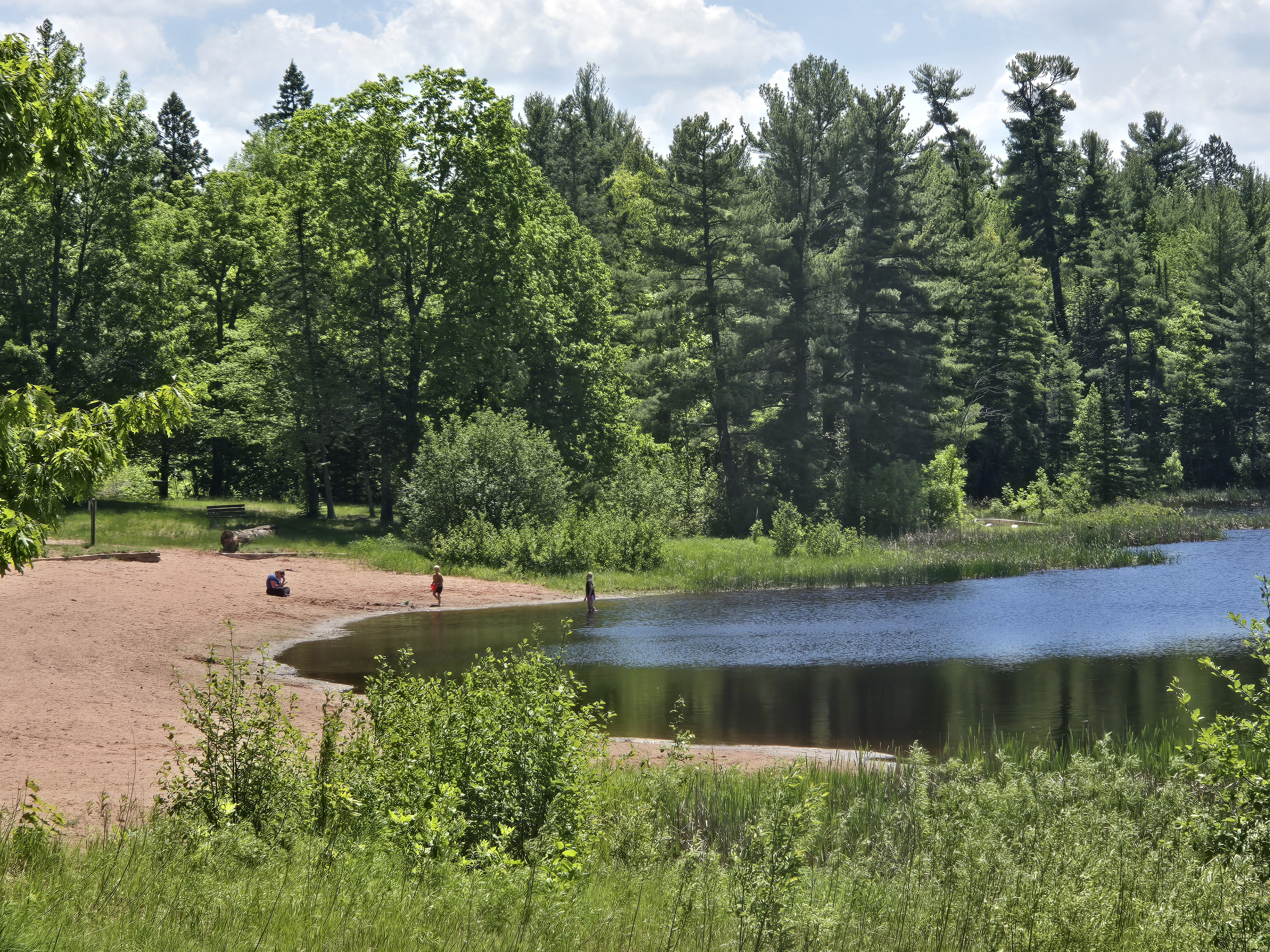
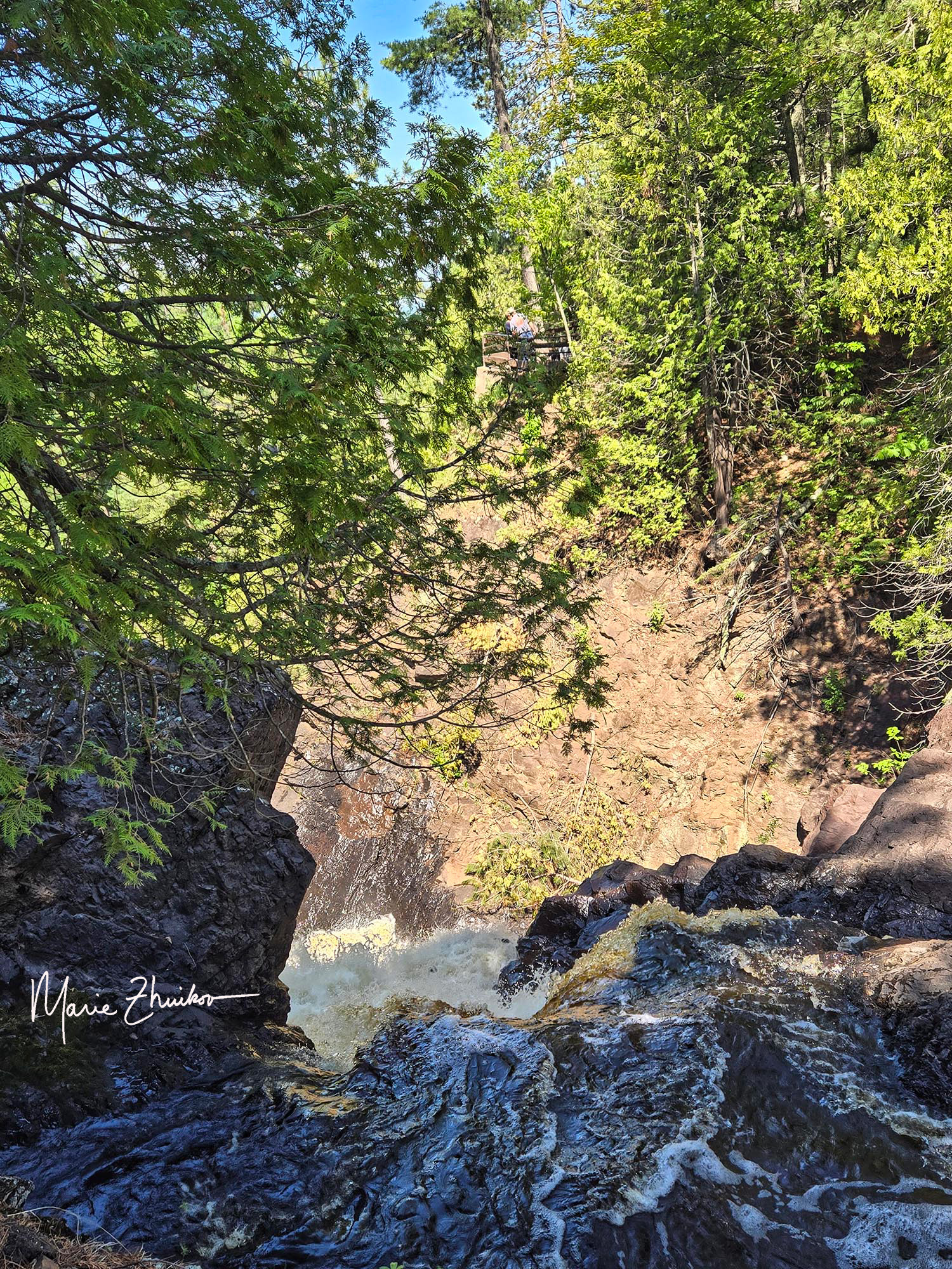
But hopefully, the peace of Monet’s gardens and ponds soothed them. In addition to being an artist, Monet was quite the botanist and civil engineer. To create his ponds, he diverted the flow of a small creek. The ponds are the site of his famous waterlily paintings, which he created in his later years when his eyes were clouded by cataracts.
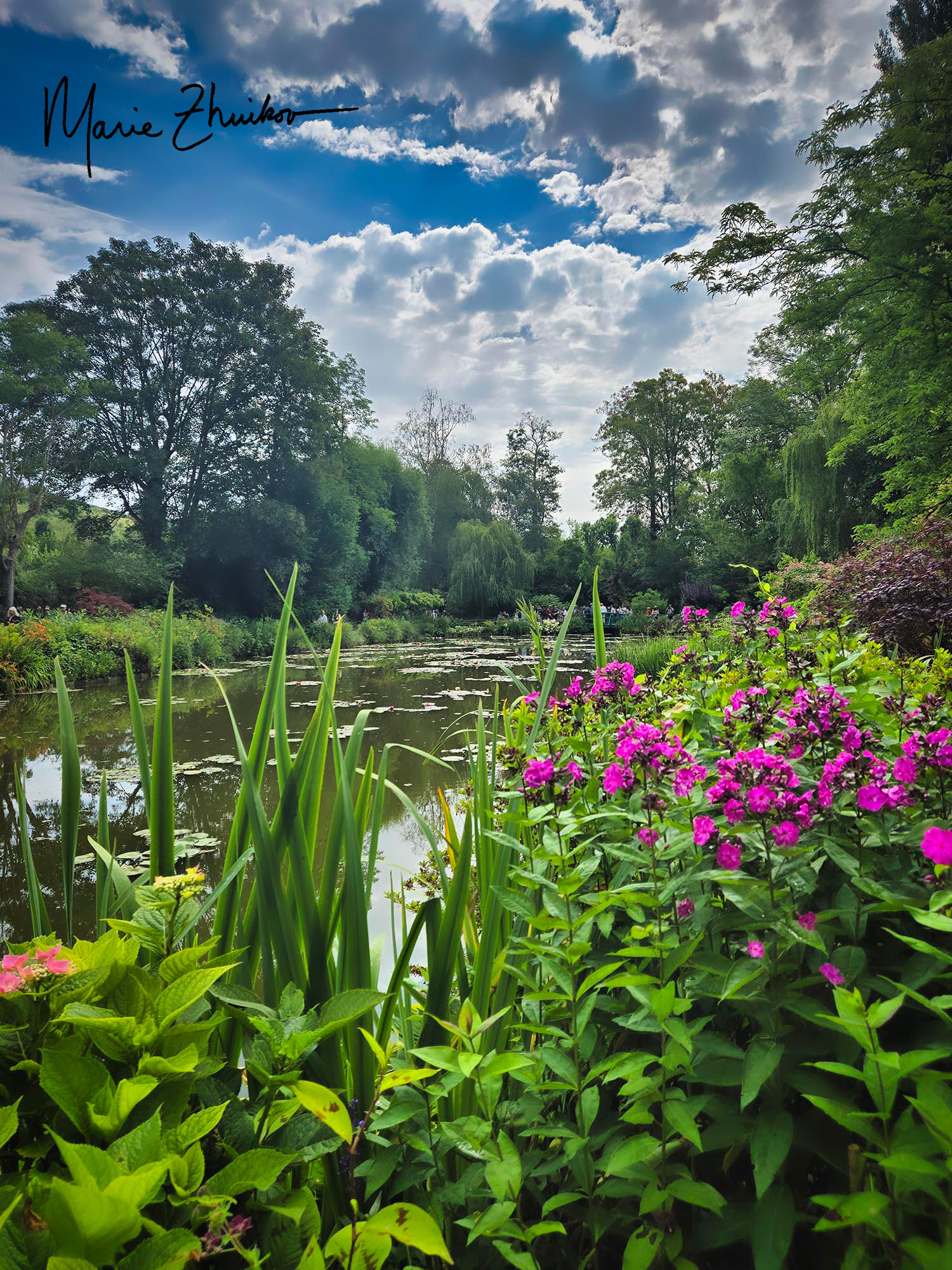
Like in Versailles, taking a photo without a ton of people in it was challenging, but I managed a few. Russ and I sat on a bench for a while to soak up the feel of the place. That was also a challenge with a parade of people walking past, but we were partly successful.
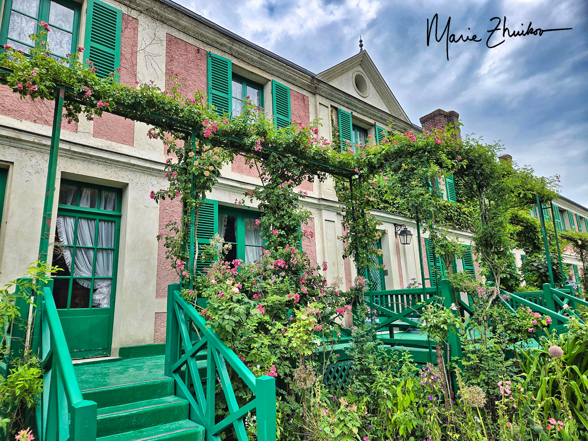
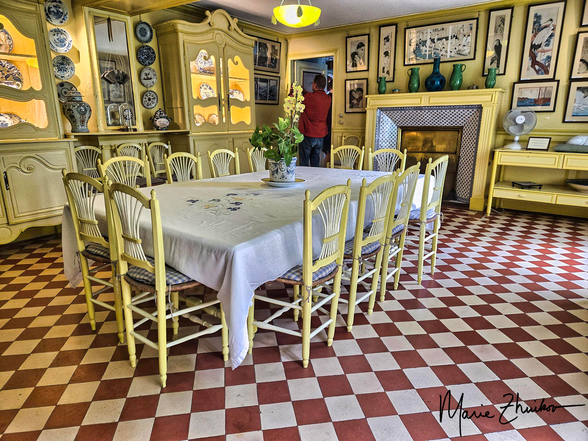
Then the path took us into his gardens, and next, to Monet’s pink and green house. I was surprised by all the paintings in the home, but I guess I shouldn’t have been. They were mainly by other artists who were Monet’s friends, but some were by Monet. I was also surprised by all the Japanese prints on the walls. Our guide said that Monet never went to Japan but considered the prints an investment. The home’s kitchen and dining room were quite picturesque.
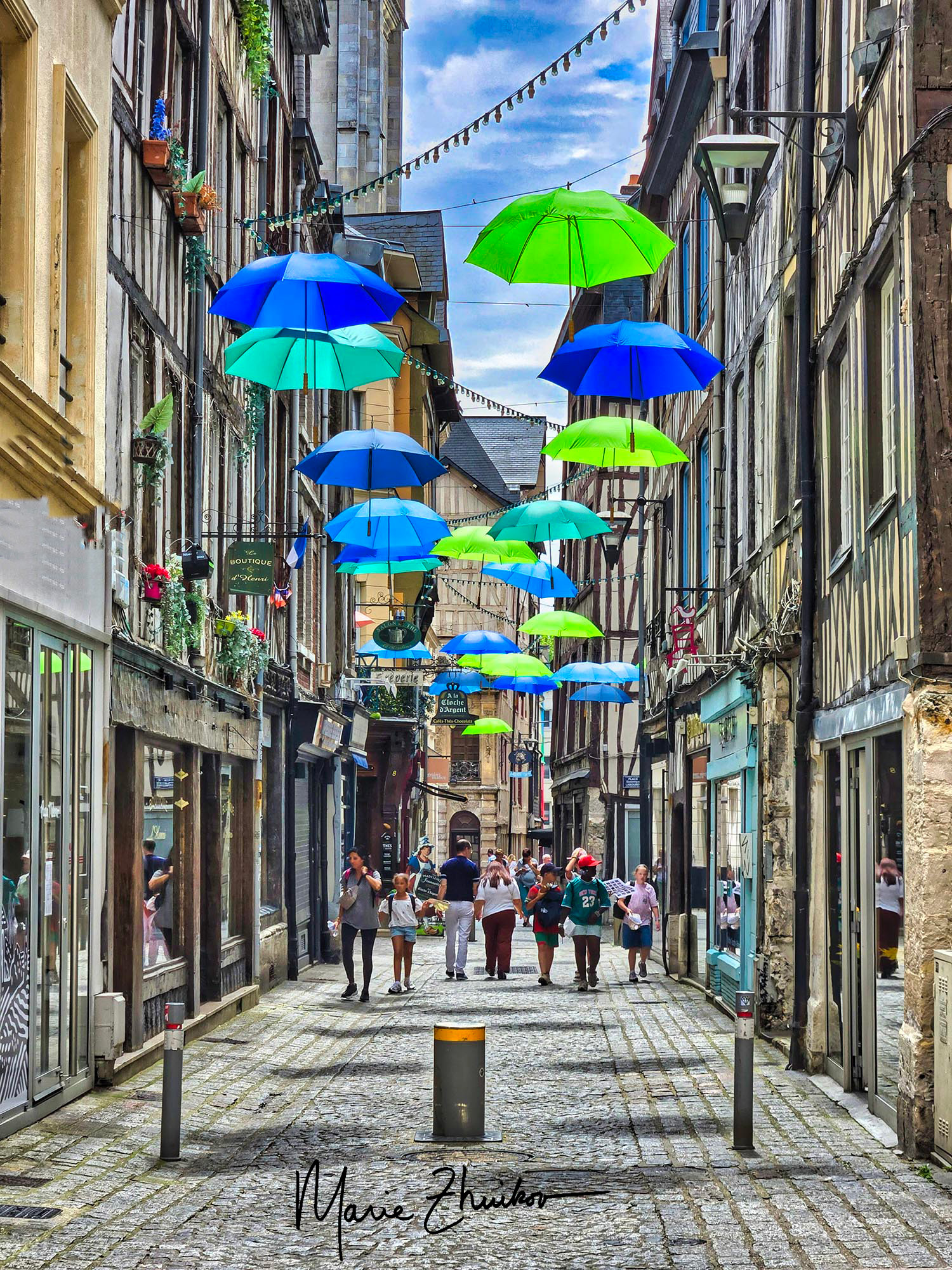
Then we were back on the bus, traveling to Rouen, which is known for its cathedral, half-timbered houses, and as the place where Joan of Arc was burned at the stake.
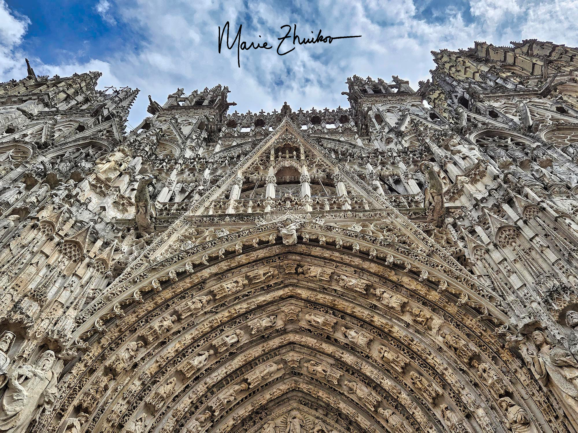
The spot where Joan of Arc was burned bears a stone plaque and is near a large church built with a fish architectural theme (the roof looks like fish scales, etc.) We ate lunch not far from there, and then our group walked to the impressive Romanesque/Gothic-style cathedral, which Monet painted in a famous series to capture how light played on the outside.
The inside of the Notre Dame Rouen cathedral was more interesting to me than the outside because it contained the tomb of Rollo, the First Duke of Normandy, and his son, William Longsword. If you’ve been following this blog for a while, you may recall the post about my visit to Maine and the history of my Herring ancestors.
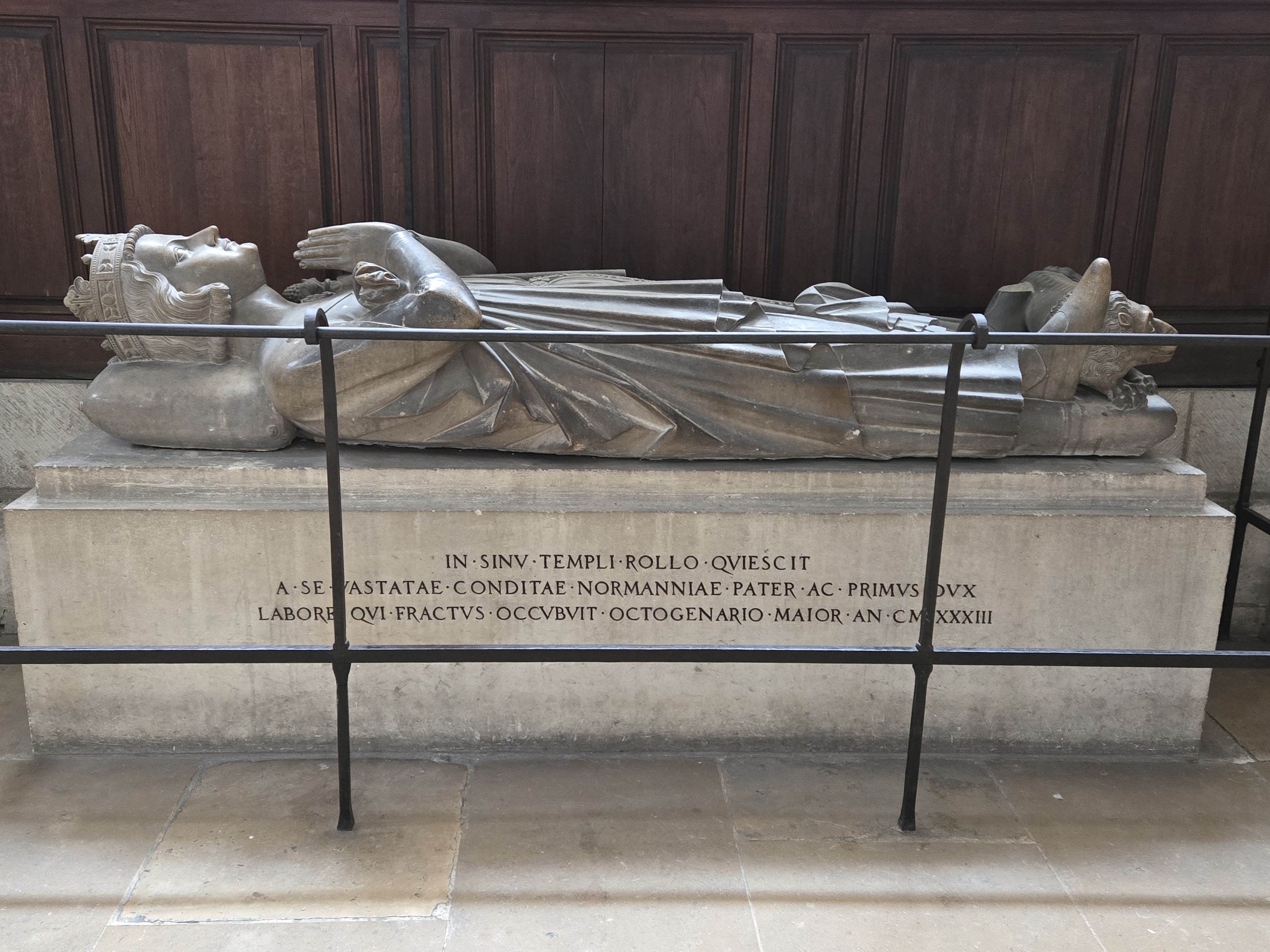
Rollo was a Viking raider who was given the land in Normandy by the French king so that he would cease his raider ways. Family lore says my ancestor was commander of Rollo’s Navy and was given the title of Viscount. In research I’ve done, I’ve learned that he usually only gave titles like that to relatives (nepotism at its best!), so there’s a good chance we’re related to Rollo.
I made a beeline for his tomb, which carries an inscription that translates to, “He toiled so hard that he died.” In life, Rollo had another nickname: The Walker. Legend has it he was too tall and massive for a horse to carry, so he had to walk everywhere. While historians have debated whether this was an exaggeration, the nickname became part of his enduring legend, emphasizing his imposing stature and intimidating presence on the battlefield. Rollo’s tomb was large but certainly didn’t seem massive.
Walking back to our bus, we saw many properties with bullet holes remaining from WWII activities in Rouen. This included the local police station. The French are sensitive to accusations that they didn’t fight back against the German invasion, but this proves that in Rouen, they did.
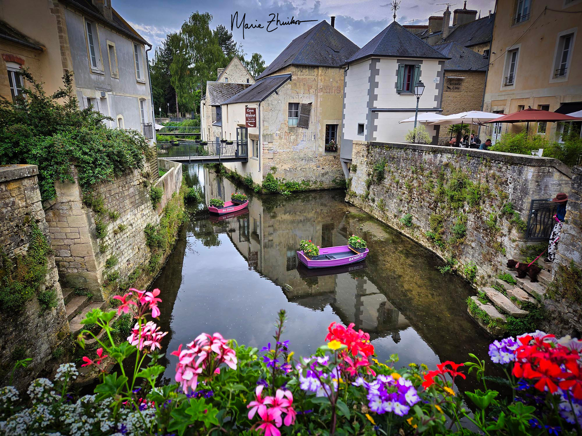
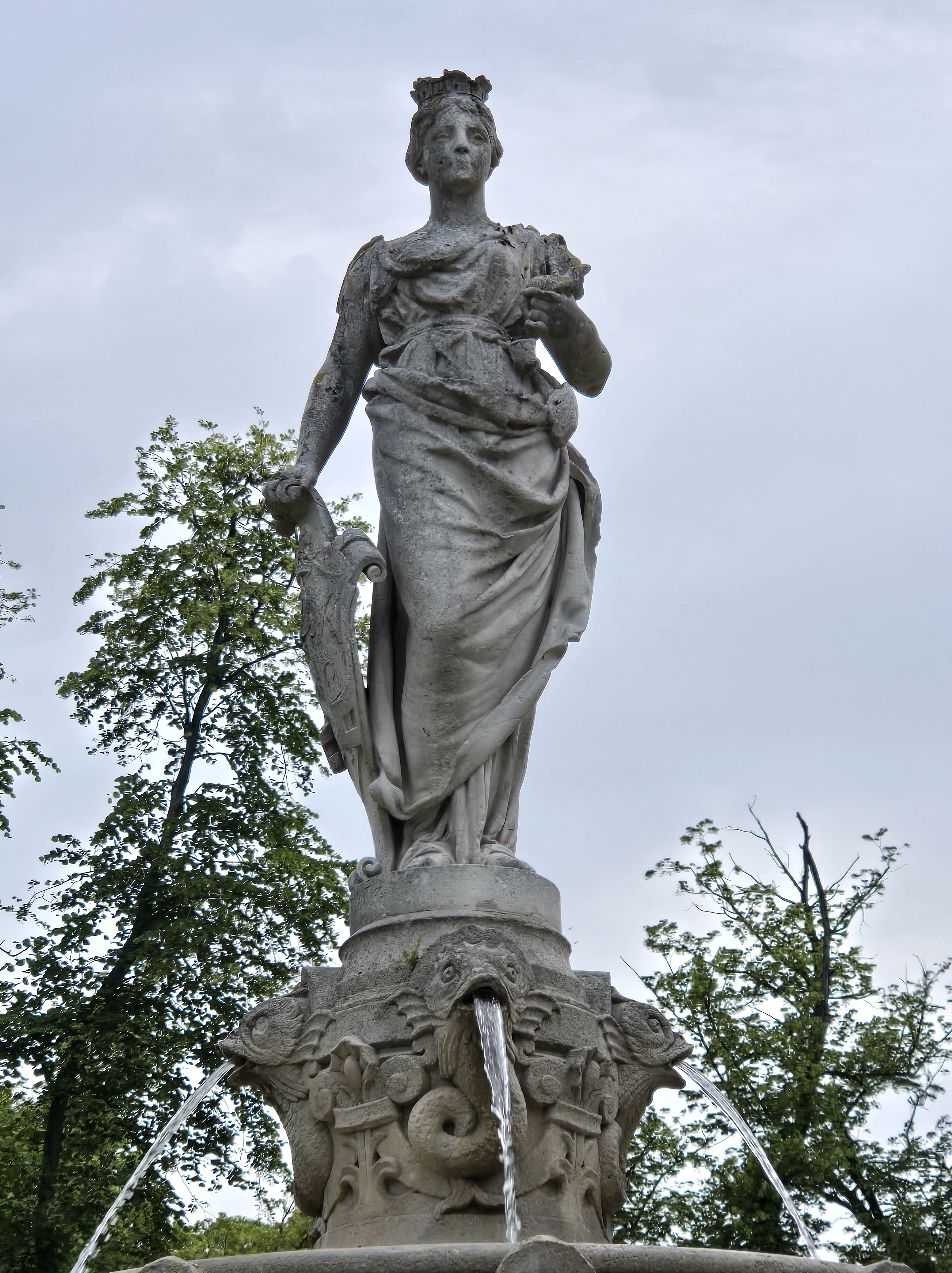
Another bus ride took us to the town of Bayeux, which was to be our base for the next few days. After supper, we had free time. Russ and I were able to meander around. We found a city park with a fountain in the middle that depicts the local woman who married Rollo. Her name was Poppa.
Reflecting on the day, I’m struck by how each experience—from the simple pleasure of a perfect croissant to the awe of Monet’s gardens and the storied streets of Rouen—wove together into a delightful tapestry. These moments, both grand and small, capture the magic of travel: unexpected connections, new tastes, and a deeper sense of history coming alive. France continued to surprise me at every turn, and I was looking forward to what tomorrow would bring.
Next up: The D-Day Beaches of Normandy, Apple Brandy, and Bayeux