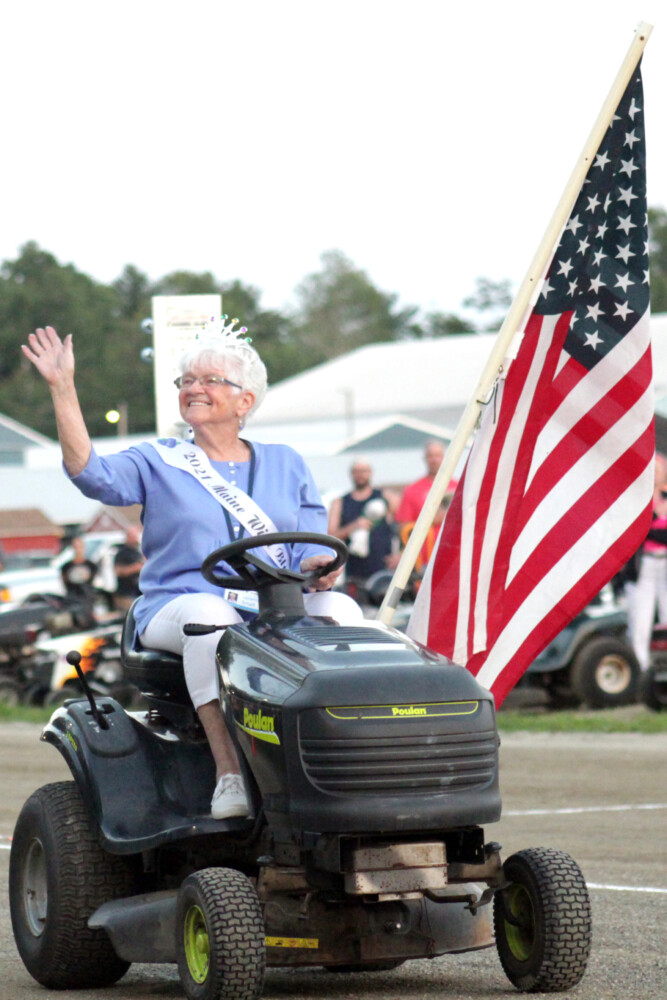
The grand marshal of the Thunder Valley Lawn Mower Races, Maine. Image credit: Mark Haskell, Courier-Gazette
Apologies for the bad pun in the title, but I wanted to let you know that you truly haven’t lived until you’ve witnessed this phenomenon. Lawn mower races happen all across America, from Idaho to Maine. I received my first taste in late summer when I meandered into Cotton, a small town in northern Minnesota.
Grown men (and in other places, women) clamber aboard riding lawn mowers that they have modified for racing. In Cotton, the circular racing track was an actual lawn situated behind what used to be the town’s high school but is now a community center.
The races are a cultural highlight of the season. Families gather to sit on the grass or on haybales to watch the festivities. Kids eat cotton candy. Some folks even back their jacked-up pickup trucks along the track. Sitting in folding lawn chairs in the cargo bed, they have a prime, elevated view.
Engines rev. The starting gun cracks, and they’re off! The machines tilt as they round the corners, wheels lifting off the ground. The drivers likewise tilt, leaning into the movement. Around and around they buzz, neck and neck. After a few turns around the track, one man’s mower putters out and he pulls into the center, defeated.
Cotton, MN, lawn mower racers lean into the turn.
According to the U.S. Lawn Mower Racing Association, this quirky form of racing began in the early 1970s – touted as a perfect way to use a machine that many people already have, and to let off steam. It became official when the makers of a fuel stabilizer came up with the idea of using a lawn mower race to promote their product on April Fools’ Day in 1992.
I had no idea this pastime had been around for so long! There’s even such a thing as lawn mower ice racing in winter.
With a wave of a checkered flag, the race ends. The crowd applauds. The winners strut over to claim their prizes and pose for the local newspaper photographer.
In Cotton, racers competed in two events, “modified” and “stock.” I felt culturally enriched for having watched these events. But it all seemed like such a waste. You see, the racing mowers don’t have their blades engaged. All that noise and hype, and in the end, the grass on the track is just as long as before. 🙂
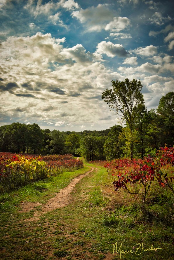
One of the tranquil views from the Prairie Overlook Trail in William O’Brien State Park.
Russ and I meandered south a couple of hours to camp along the St. Croix River in William O’Brien State Park. We chose the park mainly for the location – we wanted to visit the river towns of Stillwater and Afton, both of which are not far south – but we plan to return again someday because of the great accommodations and the views – oh, the views!
Visitor can choose from two campgrounds at the park. We chose the Riverway Campground because it was closest to the river, and we are water people. After setting up camp our first night, we visited Stillwater and took advantage of its foodie options. We ate at the Marx Fusion Bistro – excellent food and drinks – much better than camp food. That was a treat for us — who usually camp in the middle of nowhere.
Back at our trailer, we enjoyed a fire and a visit from three fat racoons who quickly checked our site for food. Finding none, they waddled off to the next site.
The next morning, we walked the 1.6-mile Riverside Loop Trail near the campground. The trail passes through old white pines along the river and then turns inland a bit, meandering by Lake Alice, which is named after the daughter of William O’Brien, a lumberman who used to own the land that’s now the park. Two bald eagles graced us with their presence, performing aerial acrobatics.
Later, we took a nine-mile (round-trip) bike ride to the small town of Marine on St. Croix. We explored its short main street and stopped to visit an old lumber mill site featuring a short trail and interpretive signs. The mercantile in town looked like it could accommodate any forgotten food needs, plus there’s a coffee shop that touts its cold-press coffee as “best in the valley.”
We sipped our coffee while sitting in the town’s gazebo/band stand in a small park just across the street from the shop. The town was so quaint and picturesque, I felt like I was in a gosh darn Hallmark Channel movie.
A view of the St. Croix River from the Riverside Trail. I call this one, “X Marks the Spot.”
After supper, we revisited the Riverside Trail and made good use of one of its benches to watch the moon rise above the clouds lining the river. Barred owls hooted their “who cooks for you?” calls and Canada geese honked as they flew to their nightly roosting waters.
As we fell asleep back inside our trailer, the quiet of the night was interrupted by a pack of coyotes who yipped to each other.
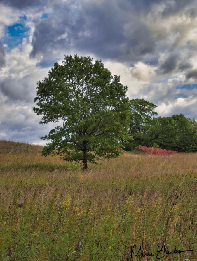
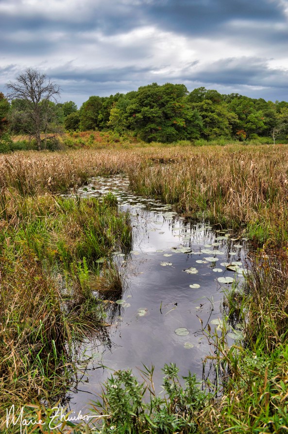
On our final morning in the park, we drove a few miles to hike the Prairie Overlook trail through a restored oak savanna. The trail loops around a small lake. As I hope my photos attest, everywhere we looked was a feast for the eye. Seas of sumac had turned red and lined the trail.
The day was overcast, and the rain conveniently waited until we reached our car to begin. The drops came down, steady and persistent, so once back at the campground, we packed up and headed home.
A story that began as a post on this very blog was recently published by “Northern Wilds” magazine. It details an adventure Russ and I had canoeing down the Whiteface River in northern Minnesota. As I began writing it, I quickly realized its magazine potential. So, I didn’t post it here.
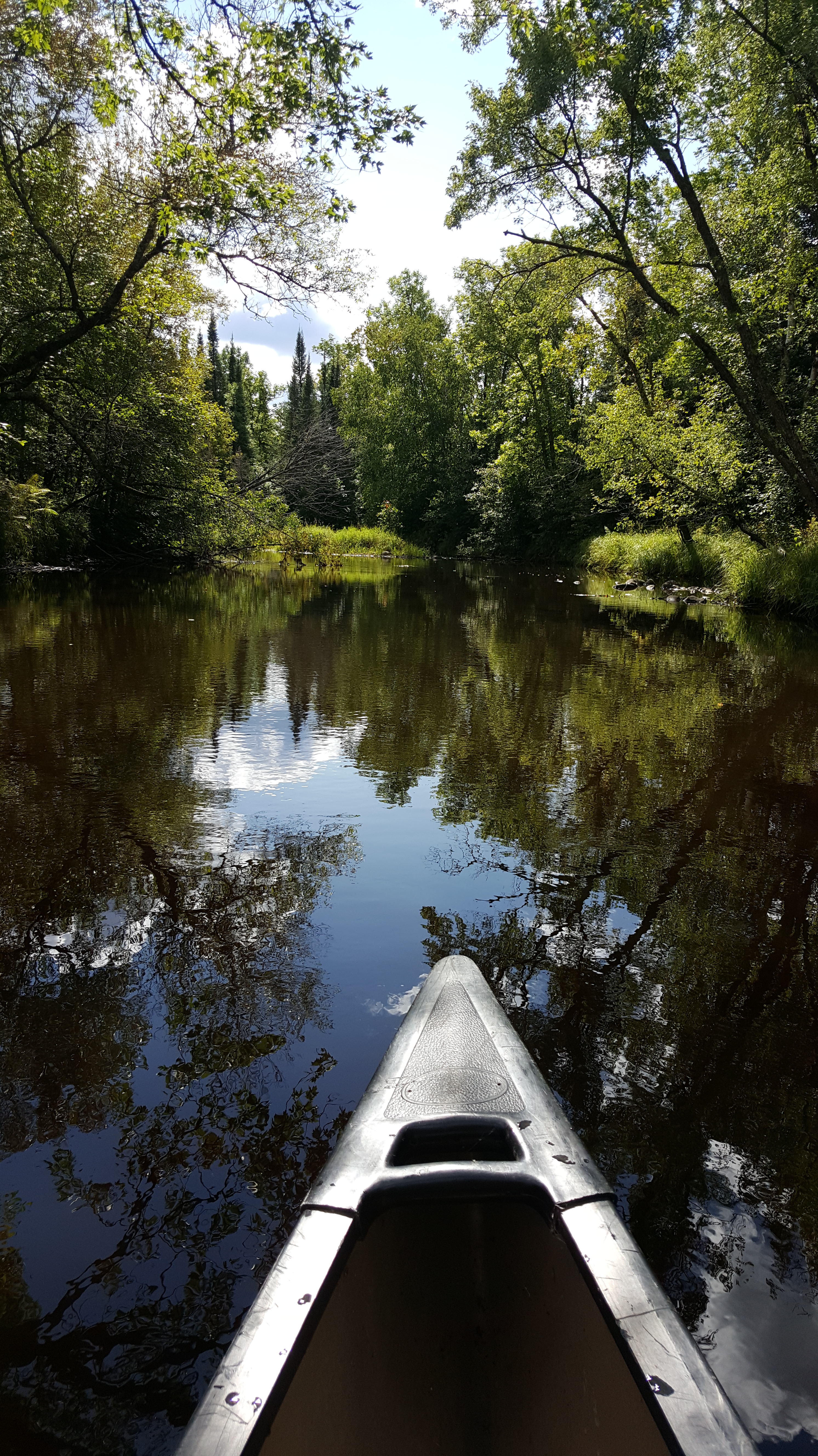
…I marveled that a trip that takes about five minutes by car could take three hours by canoe. But in a car, we would not have had the wonder of the white birds, a mermaid, and a lightning-blasted pine. Now, we have a mental map of the liquid emerald that flows beyond the screen of trees bordering the road.

Our water toys await launch into Jeanette Lake in the Superior National Forest.
If someone ever wanted to successfully torture me for information, all they would need to do is stick me in a dark room full of mosquitoes. Between the incessant buzzing and the blood-sucking, I would divulge anything anyone wanted to know. I’d even make up stuff if it would get me out of that hellhole faster.
I was reminded of effective torture methods during our inaugural night at Jeanette Lake Campground in northern Minnesota’s Superior National Forest. Russ and I arrive late on a Friday night with our Scamp trailer. The site we had reserved months before was the only one available in the government system for the dates we desired. It was situated in dense woods near a wetland along the lake. Mosquitoes love wetlands. They also love the dark. And, they apparently love my ankles.
We set up camp between mosquito slaps, amazed that so many bugs were still alive when our summer has been so dry. I’d expect swarms like this earlier in the season, not in mid-July, but I guess this year has been a good one for them.
Somebody (and I’m not naming names) left our camper door open too long. By the time we were ready to sleep, our trailer was filled with mosquitoes. We spent a good forty-five minutes trying to kill every last one before we went to bed.
But you know that ONE mosquito always survives. They will hunt you down during the night, buzzing insistently around your pillow as you try to sleep.
After a few belated kills, we were serenaded by the mosquitoes that had collected outside on our window screens. Such a lovely way to drift off into dream land!
In the morning, I was loath to leave the trailer. Still demoralized from the night, I envisioned cutting our weekend camping trip short due to the bugs. Russ was awake and out before me. I noticed he stayed outside for a long time. Wasn’t he getting eaten alive?
Thankfully, it turned out he wasn’t. As I took my first cautious steps outdoors, he sat, smiling, at the picnic table, coffee in hand. The mosquitoes were nowhere near as numerous as the night before. Maybe our camping trip wouldn’t be a bust, after all.
I first learned of Jeanette Lake over thirty years ago when I spent a summer as a photojournalist volunteer for the LaCroix Ranger District in the Superior National Forest. I’d driven past and through the campground a few times on my way to other places. With its islands and white pines, the glacier-carved lake looked like one that should be in the Boundary Waters Canoe Area Wilderness. The thought of being able to drive to it and camp appealed to me, but I never had the chance until now.
We ate our breakfasts and took a walking tour of the campground, which offers about a dozen sites. Two are walk-in. Backcountry sites are scattered around the lake and on the islands for those who want to work harder (by paddling or boating) for their camping experience.
A few of the non-reservable sites were empty, including a picturesque one right on the lakeshore. I noticed it had perfect access to the water for kayaks or paddleboards, both of which we brought with us. A nice breeze off the lake would keep mosquitoes at bay.
After we returned to our site and got talking, Russ said he had paid for our site at the pay station that morning while I was sleeping. My brain was beginning to work by that time, and I remembered that I had paid for our site when I made our reservation.
So, we had paid for two sites. Why not move to the better one? The Forest Service might frown upon such practices, but it seemed like a good idea to us, so we packed up and moved out of the wetlands and to the lakeshore. Later, we told several people who were looking for campsites about the free one they could have that was under our name, but nobody took us up on it. Gee, do you think that might have had something to do with MOSQUITOES?
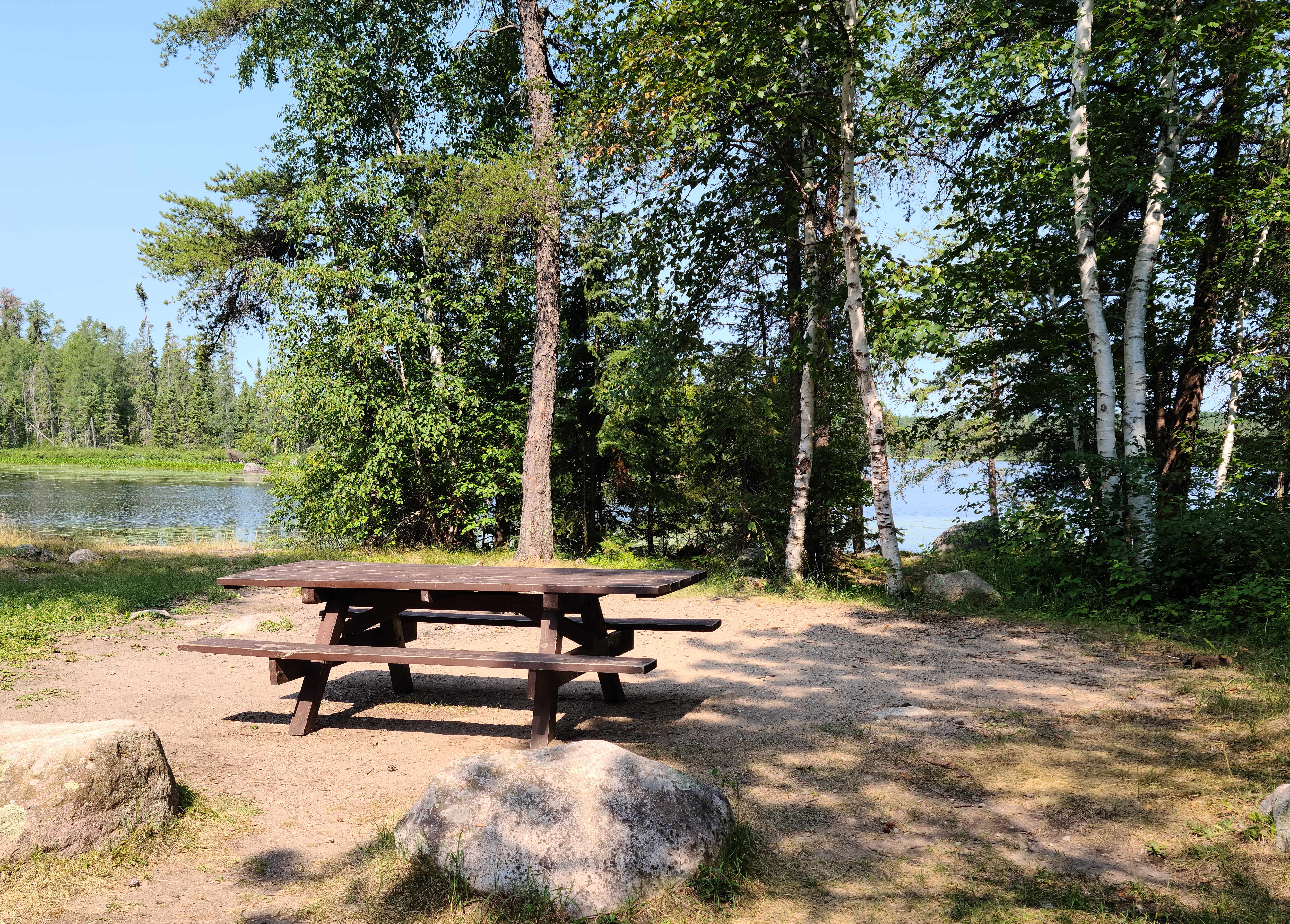
Our non-mosquitoey campsite.
We spent our Saturday paddling the lake, resting on a tiny island covered in jack pines and blueberry bushes (the berries were ripe). We also hiked on the Astrid Lake Trail, which can be accessed from the campground near the walk-in sites. After the trail crosses the road (the Echo Trail), it wanders through a black spruce bog. If you look closely, you’ll see rare pitcher plants. Farther on, glacial erratic rocks — huge boulders dropped by glaciers as they retreated and melted 10,000 years ago — dot the sides of the trail in the forest.
We spent the evening around a campfire, admiring the red orb that served as a sunset in skies hazy from northern wildfires. As the sun disappeared, the mosquitoes reappeared, but in more manageable numbers.
Ferns growing on an ancient glacial erratic boulder along the Astrid Lake Trail.
Sunday morning, we mountain-biked on the Echo Trail, which is the gravel road that provides access to this part of the land. After a quick dip in the lake, it was time to pack up and head home. Along the way, we made a lunch stop at the Montana Café in Cook, Minnesota, the town where I was stationed during my volunteer stint. The café was another one of my old haunts and I was glad to see it was still in business. They have great malts and burgers.
Despite the best efforts of the mosquitoes, we were able to salvage this trip down memory lane. If you’re interested in a touch of wilderness with easy access, don’t be put off by all my whining about mosquitoes; put gorgeous Jeanette Lake on your list.
Two shed skins from a garter snake that lived near our site. We also had a camp chipmunk and cottontail rabbit.
In our continuing quest to familiarize ourselves with the Mesabi Trail in northern Minnesota, Russ and I recently biked an 8.5-mile section right in the middle between the towns of Hibbing and Chisholm. This section runs by iron ore mine pits and a spur that leads to the Discovery Center, a cultural museum about the Iron Range.
The trail offers a good mix of ups and downs, shade and sun. In Hibbing, the trailhead parking lot is the same one that serves the Greyhound Bus Museum. We had time to visit the museum, which I’ll feature in my next post.
We rode out and back for a total of 17 miles. Not every bike trail offers sights like the Bruce Mine Headframe (pictured). A nearby sign said this structure was originally underground and it hoisted low-grade iron ore 300 feet to the surface. It’s the last standing headframe on the Mesabi Range.
The Bruce Mine Headframe — one of the sights along the Mesabi Trail between Hibbing and Chisholm.
The sign also goes onto to relate an incident that happened in the Bruce Mine. “In July 1927, Nick Bosanich was reported to have died in a rockslide in the mine. Forty-six hours later, he was found alive in a 10-foot-square room. His first request was for a cigarette.”
Ironic that upon his “resurrection” he probably shortened his life by resuming smoking!
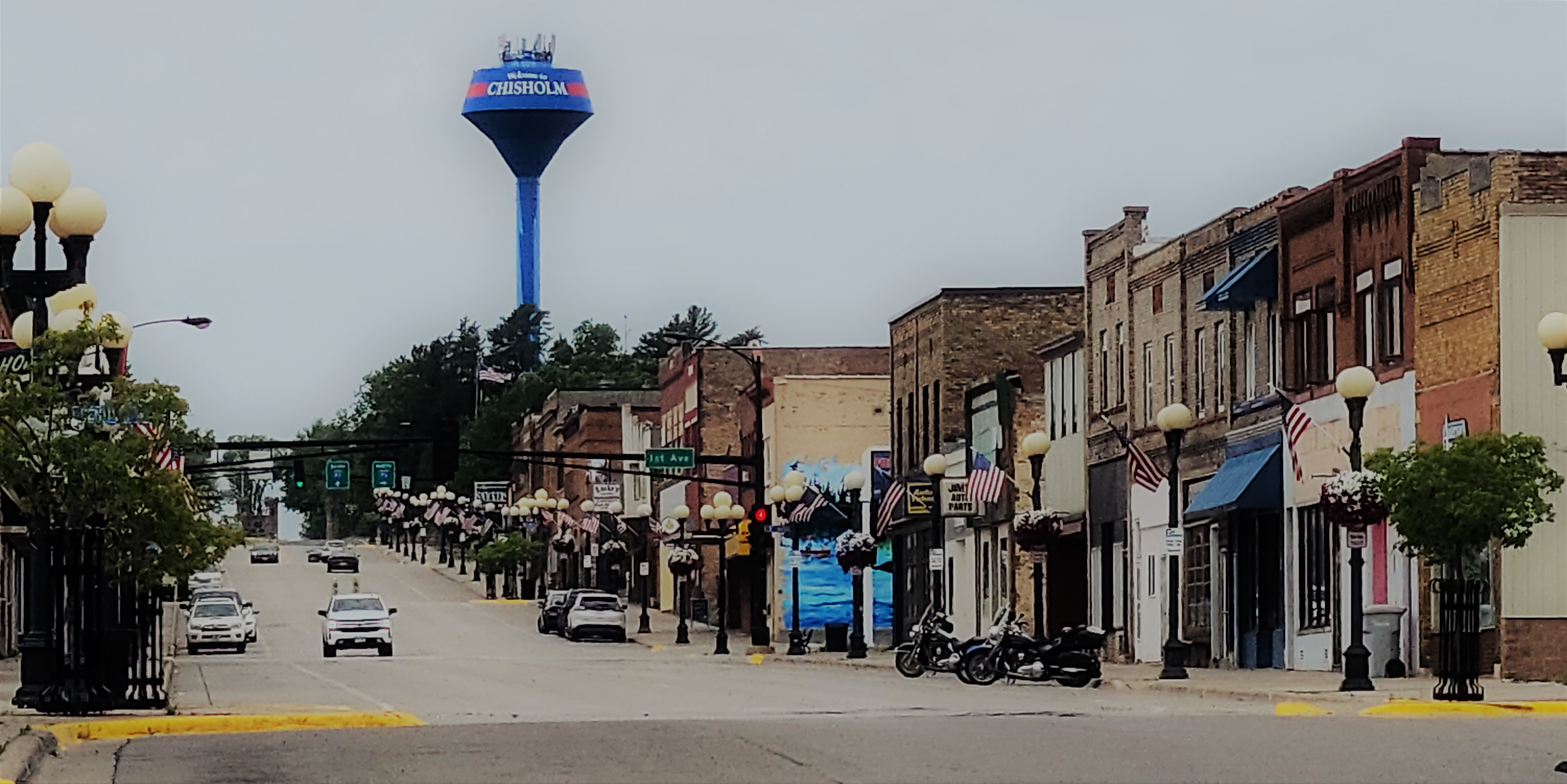
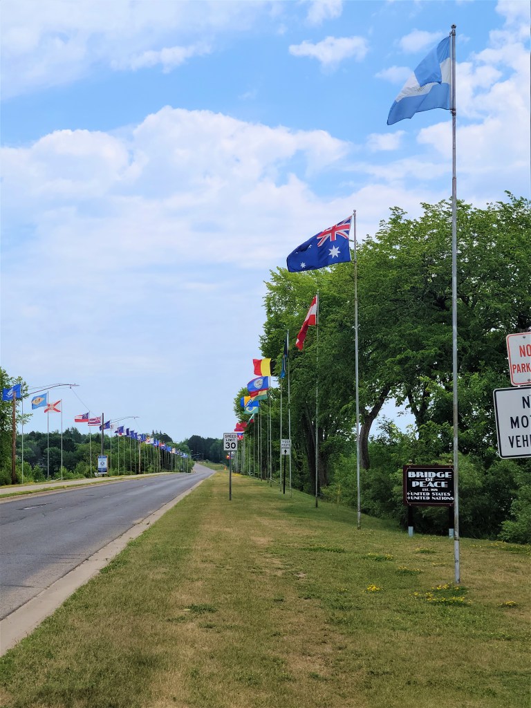
On the way into Chisholm, the trail follows a city park along a lake. At our turnaround point, we could view downtown one way and in the other direction, the “Bridge of Peace” causeway across the lake. The bridge showcases flags from all 50 states as well as flags from around the world, which gives this small town a touch of the cosmopolitan.
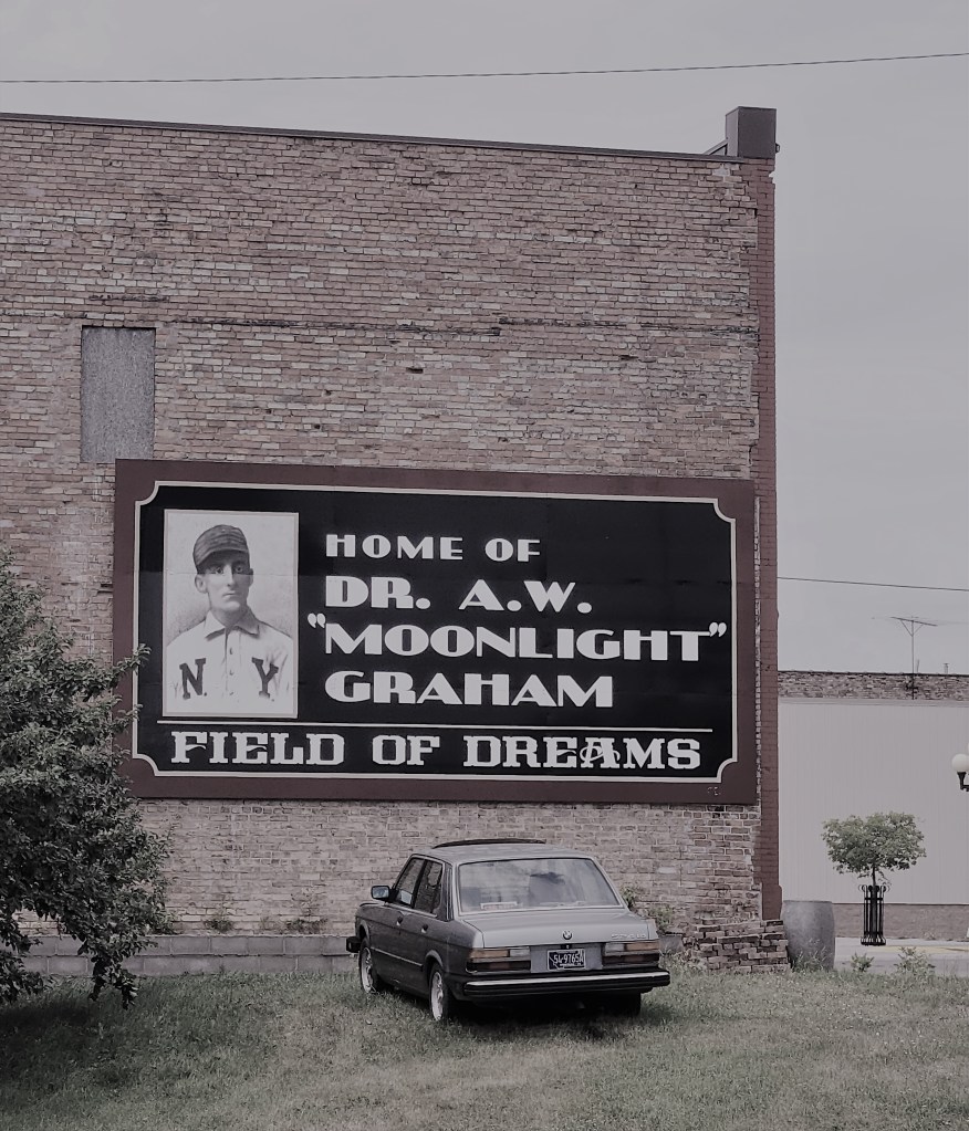
Ever watch “Field of Dreams?” (One of my faves.) Chisholm’s other claim to fame is as the home of the legendary baseball player, Doc “Moonlight” Graham, who is featured in the movie.
So, this section of the trail offers mines, museums, and movie heroes. If you want a good introduction to the Iron Range, this is the right section of trail for you!
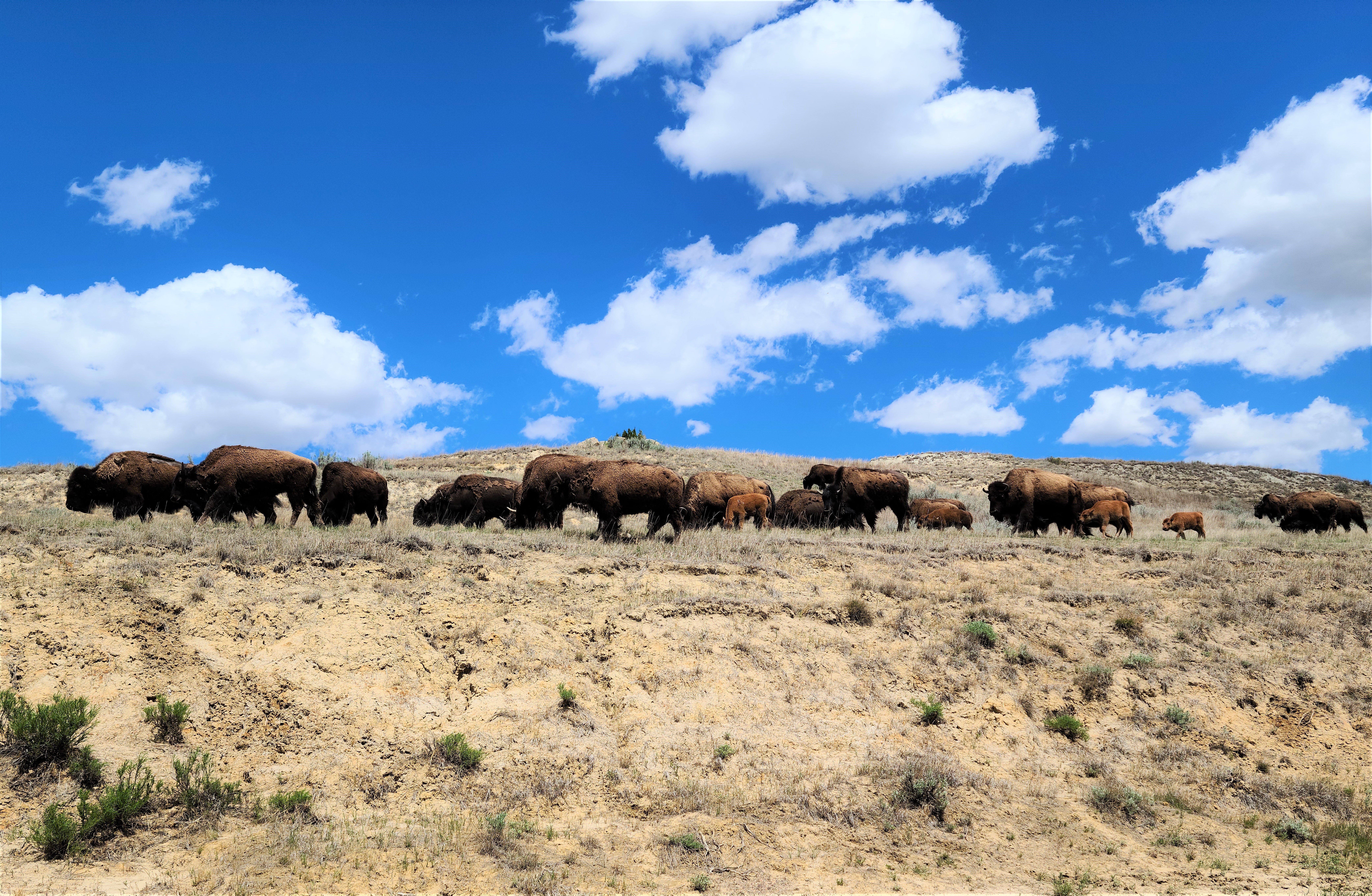

As you may be aware, Russ and I had the chance to camp in Theodore Roosevelt National Park last month. Here’s my last group of photos from the trip. We felt privileged to wander among the wild buffalo, horses and prairie dogs.



During our recent trip to North Dakota, Russ and I had the chance to tour the Chateau de Mores State Historic Site, the summer home of the French founders of Medora. The 26-room structure was built by Antoine de Vallombrosa, the Marquis de Mores, in 1883, so his wife and family could live there while he pursued building a meat-packing plant, among other ventures.
The Chateau de Mores
The home sits nestled into a hillside overlooking the town, which the Marquis named after his wife. He did not name his home “the chateau.” That title was conferred by the locals, since it was quite grand compared to homes lived in by most people of that time.
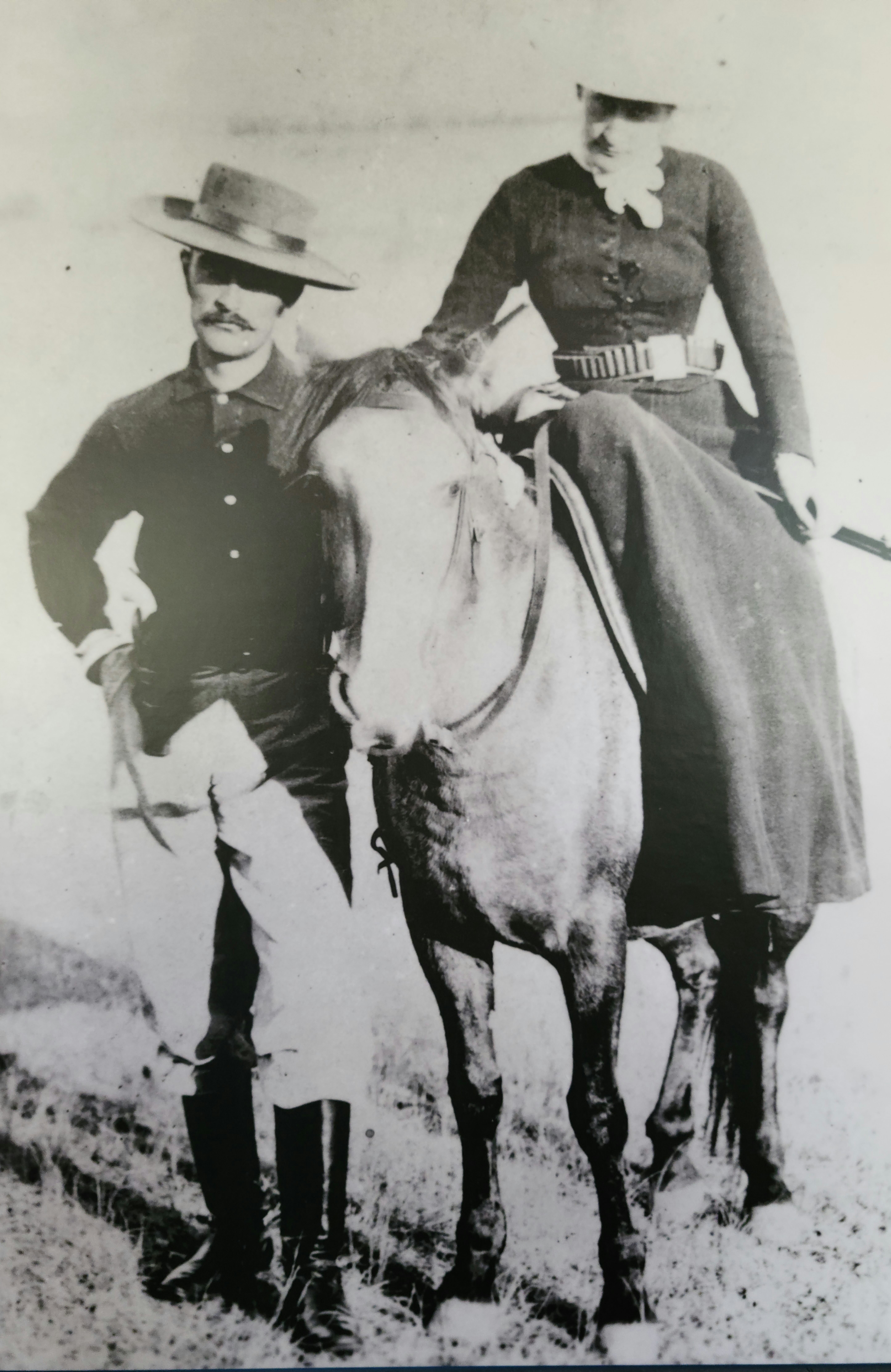
The Marquis and his wife, ready for a hunting expedition. Note that she’s riding sidesaddle. Image courtesy of the State Historical Society of North Dakota.
The couple adapted well to the rough life of North Dakota, compared to their winter home in Cannes, France. The Marquis was industrious and completed many building projects that still stand today in the community. Medora loved hunting and was apparently a crack shot, outperforming her husband and embarking on many hunting trips on her own when he was away for business.

The Hunting Room in the chateau.
Their dreams of a financial windfall were short-lived. The meat plant failed in 1886, plus issues with local hunters, who didn’t like fences the Marquis erected for his cattle, caused conflict, death, and charges against the Marquis. They didn’t abandon the town, however, and continued to support endeavors there and visit periodically.
If you’re ever in Medora, the site is worth a visit to learn more.

Russ and I spent three full days in North Dakota over Memorial Day Weekend. I’d passed through the park on my way West several times in the past and decided it was worth more time. I’m so glad we did it. Even though not many touristy things were open yet, we kept busy exploring the natural wonders of the park and area surrounding the town of Medora.
For my next few posts, I’ll be sharing photo stories as inspiration strikes. This first is about “concretions.” These were a highlight of our visit to the North Unit of the park.
These cannonball-shaped formations are made of sand grains from an ancient river that were cemented together by minerals dissolved in groundwater. That’s the official word. Unofficially, I’d say they remind me of Godzilla eggs.
Concretions and sky.Godzilla egg in a nest.An eroded clay/sediment deposit found near the concretions.
An Ojibwe horse makes friends with a girl at Dawson Trail Campground in Quetico Provincial Park, Canada.
When I was a girl, I was horse crazy. My best friend, Jody, lived in my neighborhood and we collected every different breed of plastic toy horse we could get our hands on. (Or that we could convince our parents to buy.)
I had galloping horses, standing horses, rearing horses, trotting horses; Palominos, greys, Morgans, Appaloosas, Paints, you name it.
Jody and I enjoyed many imaginary adventures with our steeds. Enraptured, we watched movies like “The Miracle of the White Stallions,” “Justin Morgan had a Horse,” “The Black Stallion,” and “National Velvet.” I must have read all the Beverly Cleary horse books and Walter Farley books. During winter, we didn’t build snowmen, we made snow horses (which are basically snowmen lying down).
The highlight of my year was summer YWCA camp where I could ride a horse, although at a plodding pace. (Spatz, I miss you!)
It didn’t help that my grandfather raised horses (and mules, donkeys, ponies) and had his own Western store. He had a mule named Hubert (after Hubert Humphrey, a Minnesota politician) and a dapple-grey pony named Daisy that he let me ride on my rare visits. My grandfather trained Palominos for show. The back of his store housed saddles, which were propped on rows of sawhorses. The heavenly aroma of leather filled that back room. I climbed up on the saddles, pretending I was riding.
Jody and I begged our parents for a horse, coming up with outlandish plans about how they could be kept in the garage of our city homes, promising we would take care of them and exercise them every day.
When we were in sixth grade, Jody’s parents caved. She got her own horse, a paint named Friskie. She kept it at a stable just outside of town. I spent many Saturdays there, joining her as she exercised Friskie around the indoor arena. I rode a different horse that needed a workout.
Sometimes, Jody would trailer her horse, once even bringing it to my back yard (see photo below). Her family had a cabin outside of town and I also I recall riding Friskie bareback on the gravel roads around Island Lake.
Having a girlfriend with a horse wasn’t quite as good as having my own horse, but it must have helped assuage my passion somewhat. I’m sure my parents breathed a sigh of relief. My horse love didn’t totally go away, though. At the end of junior high, I attended a horse camp in central Minnesota with another girlfriend. It was the kind of place where you were assigned your own horse for the week and were responsible for its care. We learned how to brush a horse properly, feed it, etc. We were assigned to different groups based on our riding proficiency. I was proud to be in one of the upper levels. The week culminated with a trail ride and campfire, where we had the thrill of galloping the horses.
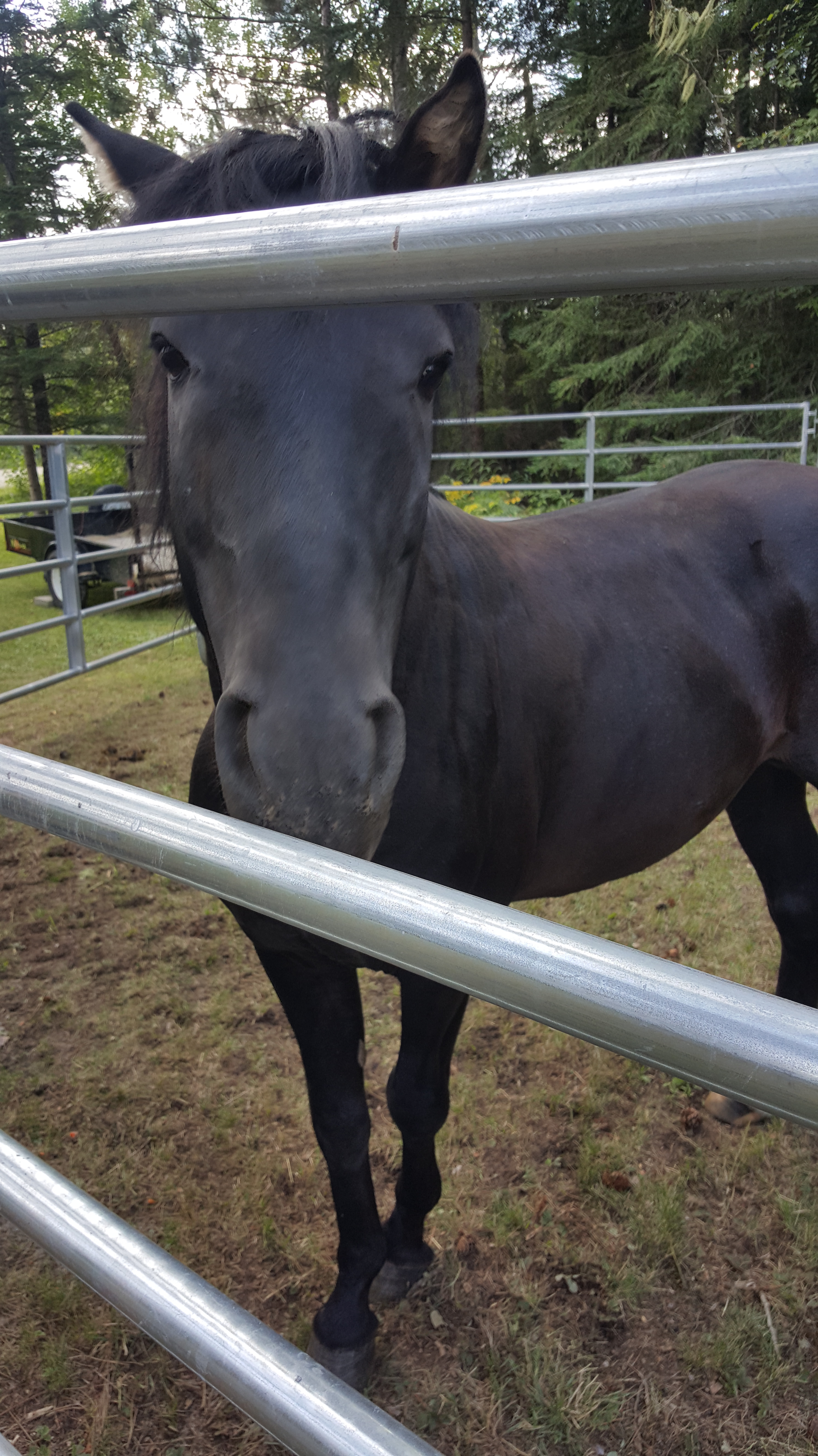
These memories resurfaced because a magazine story I wrote (and photographed) about horses was published recently. Not just any ol’ horse, however. Quietly, over the centuries, the Ojibwe people developed their own breed, now known as the Lac La Croix Horse (or Lac La Croix Indian Pony). Once roaming in the thousands over northern Minnesota and Ontario, Canada, these horses were semi-feral and community owned. Tribal members only brought them into enclosures during the winter to ensure their safety and health.
In the late 1970s, the horses almost went extinct for a number of reasons, including systematic efforts by European settlers to destroy them, and the rise of motorized technology.
In my story for Lake Superior Magazine (“The Horses Nobody Knows”), I describe how the breed was saved from the brink of nonexistence and what they mean to the Ojibwe today. It’s the longest article I’ve ever written. I had to wait a year for it to get published, which was extremely hard, because, you know, horse mania.
Learning about an unknown part of my home state’s past was exciting. I thought I knew every breed. As it turns out, there was a unique breed almost in my back yard, so to speak, that needed help.
I was more than happy to resurrect my horse crazies and put my writing talents to use to help raise awareness about the Ojibwe horses’ plight. If you’d like to donate to Grey Raven Ranch to help these special horses, they have that option on their website.
Russ biking across the 3/4-mile floating bridge on the Mesabi Trail.
The Mesabi Bike Trail website offers a rather hokey legend about how this part of northern Minnesota came to be named “Mesabi.” Basically, it describes how native peoples thought of the glacier(s) that covered the far north during the Ice Age. The story says the area was “guarded by this great white giant, so large that he could not be seen over. He could not be walked around.” The early people named him Mesabi, which means “a great and stout giant man.”
When the weather warmed and the giant grew weak, he retreated, uncovering a land of abundant forests, lakes, and farmland. The Mesabi Bike Trail traverses 135 miles (of a planned 155 miles) through this terrain.
Russ and I had the opportunity to bike several sections of the trail this summer. Thanks to unseasonably warm weather on a weekend earlier this month, we had the chance to pull on our biking shorts and explore more. We took the Giant’s Ridge Spur, which we reached from the parking lot of the Giant’s Ridge Recreation Area near Biwabik, Minnesota.
Our goal was to make it across an extensive floating bridge that crosses a bog near the end of the spur, a 16-mile round trip. This goal was no big deal to Russ, a retiree who routinely bikes 50 miles at a pop, but for me, a person whose life is still ruled by working for a living, it would be the longest trip of the season.
I’ll cut to the chase: we made it! The trail runs through remote country, passing regrown timber lands and beaver ponds, and crossing cabin driveways. A relatively new section climbs up a rather large ridge – high enough that it sports cell phone towers on top. The trail on other side of the ridge features at least a half-mile downhill stretch that you can just blast down. The metal floating bridge is at the bottom; it runs ¾ of a mile through a wetlands in the Darwin Myers State Wildlife Management Area (WMA). The trail turns to gravel at the end of the bridge for a short stretch through the rest of the WMA.
Of course, going downhill means you have to go uphill on the way back. I needed to walk my bike a couple of times, but the fun I had during the downhill runs on the way out were totally worth it.
Soon after our bike trip, Old Man Winter returned with snow, so we put our bike shorts away for the season. Unlike those who lived during the Ice Age, at least we can look forward to taking them out again on the other side of winter.

Seeing snow on the runs at Giant’s Ridge while we were biking in shorts was strange.