Revisiting My Horse Mania

An Ojibwe horse makes friends with a girl at Dawson Trail Campground in Quetico Provincial Park, Canada.

When I was a girl, I was horse crazy. My best friend, Jody, lived in my neighborhood and we collected every different breed of plastic toy horse we could get our hands on. (Or that we could convince our parents to buy.)

I had galloping horses, standing horses, rearing horses, trotting horses; Palominos, greys, Morgans, Appaloosas, Paints, you name it.

Jody and I enjoyed many imaginary adventures with our steeds. Enraptured, we watched movies like “The Miracle of the White Stallions,” “Justin Morgan had a Horse,” “The Black Stallion,” and “National Velvet.” I must have read all the Beverly Cleary horse books and Walter Farley books. During winter, we didn’t build snowmen, we made snow horses (which are basically snowmen lying down).

The highlight of my year was summer YWCA camp where I could ride a horse, although at a plodding pace. (Spatz, I miss you!)

It didn’t help that my grandfather raised horses (and mules, donkeys, ponies) and had his own Western store. He had a mule named Hubert (after Hubert Humphrey, a Minnesota politician) and a dapple-grey pony named Daisy that he let me ride on my rare visits. My grandfather trained Palominos for show. The back of his store housed saddles, which were propped on rows of sawhorses. The heavenly aroma of leather filled that back room. I climbed up on the saddles, pretending I was riding.

Jody and I begged our parents for a horse, coming up with outlandish plans about how they could be kept in the garage of our city homes, promising we would take care of them and exercise them every day.

When we were in sixth grade, Jody’s parents caved. She got her own horse, a paint named Friskie. She kept it at a stable just outside of town. I spent many Saturdays there, joining her as she exercised Friskie around the indoor arena. I rode a different horse that needed a workout.

Sometimes, Jody would trailer her horse, once even bringing it to my back yard (see photo below). Her family had a cabin outside of town and I also I recall riding Friskie bareback on the gravel roads around Island Lake.

Having a girlfriend with a horse wasn’t quite as good as having my own horse, but it must have helped assuage my passion somewhat. I’m sure my parents breathed a sigh of relief. My horse love didn’t totally go away, though. At the end of junior high, I attended a horse camp in central Minnesota with another girlfriend. It was the kind of place where you were assigned your own horse for the week and were responsible for its care. We learned how to brush a horse properly, feed it, etc. We were assigned to different groups based on our riding proficiency. I was proud to be in one of the upper levels. The week culminated with a trail ride and campfire, where we had the thrill of galloping the horses.

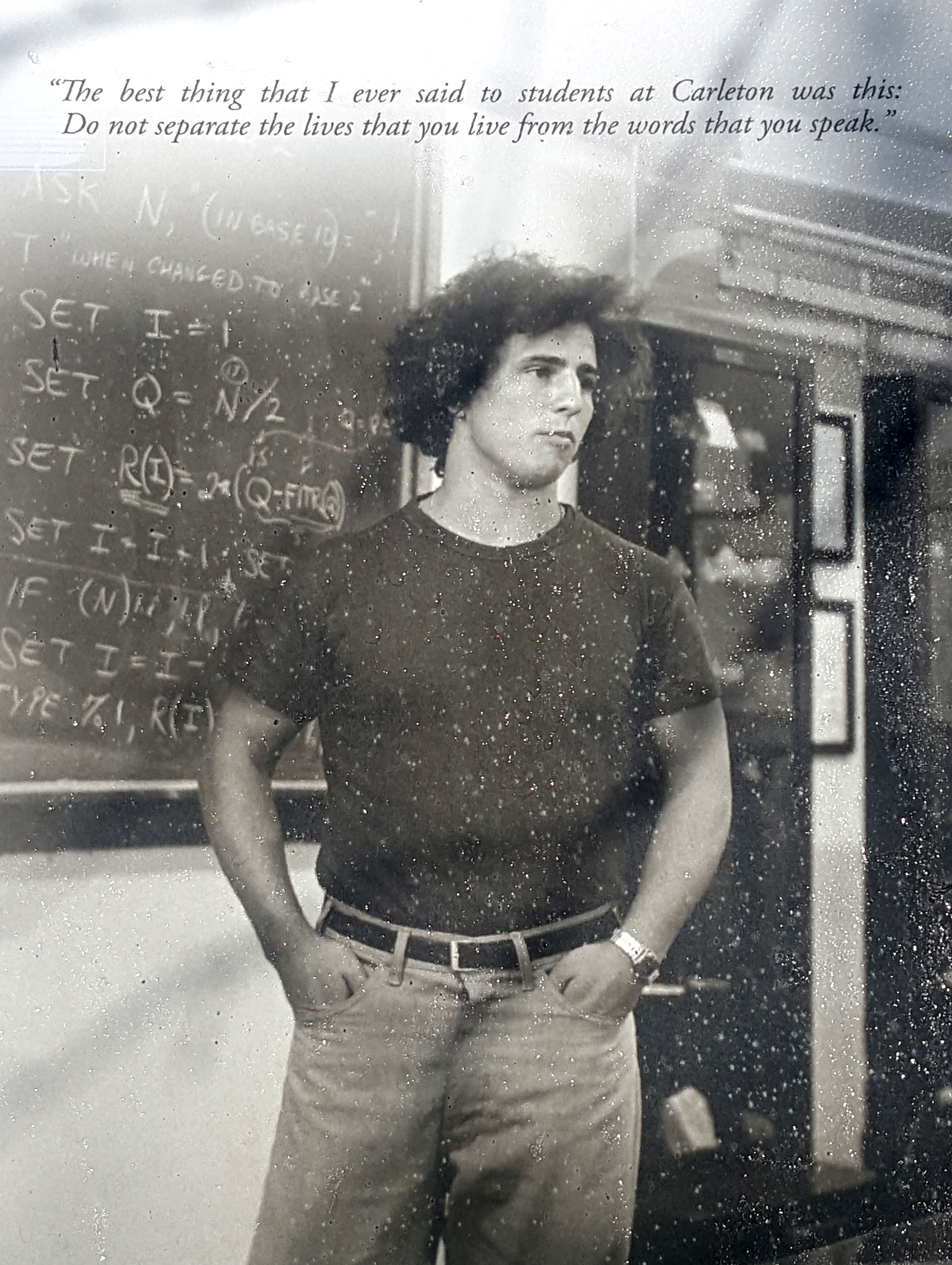
These memories resurfaced because a magazine story I wrote (and photographed) about horses was published recently. Not just any ol’ horse, however. Quietly, over the centuries, the Ojibwe people developed their own breed, now known as the Lac La Croix Horse (or Lac La Croix Indian Pony). Once roaming in the thousands over northern Minnesota and Ontario, Canada, these horses were semi-feral and community owned. Tribal members only brought them into enclosures during the winter to ensure their safety and health.

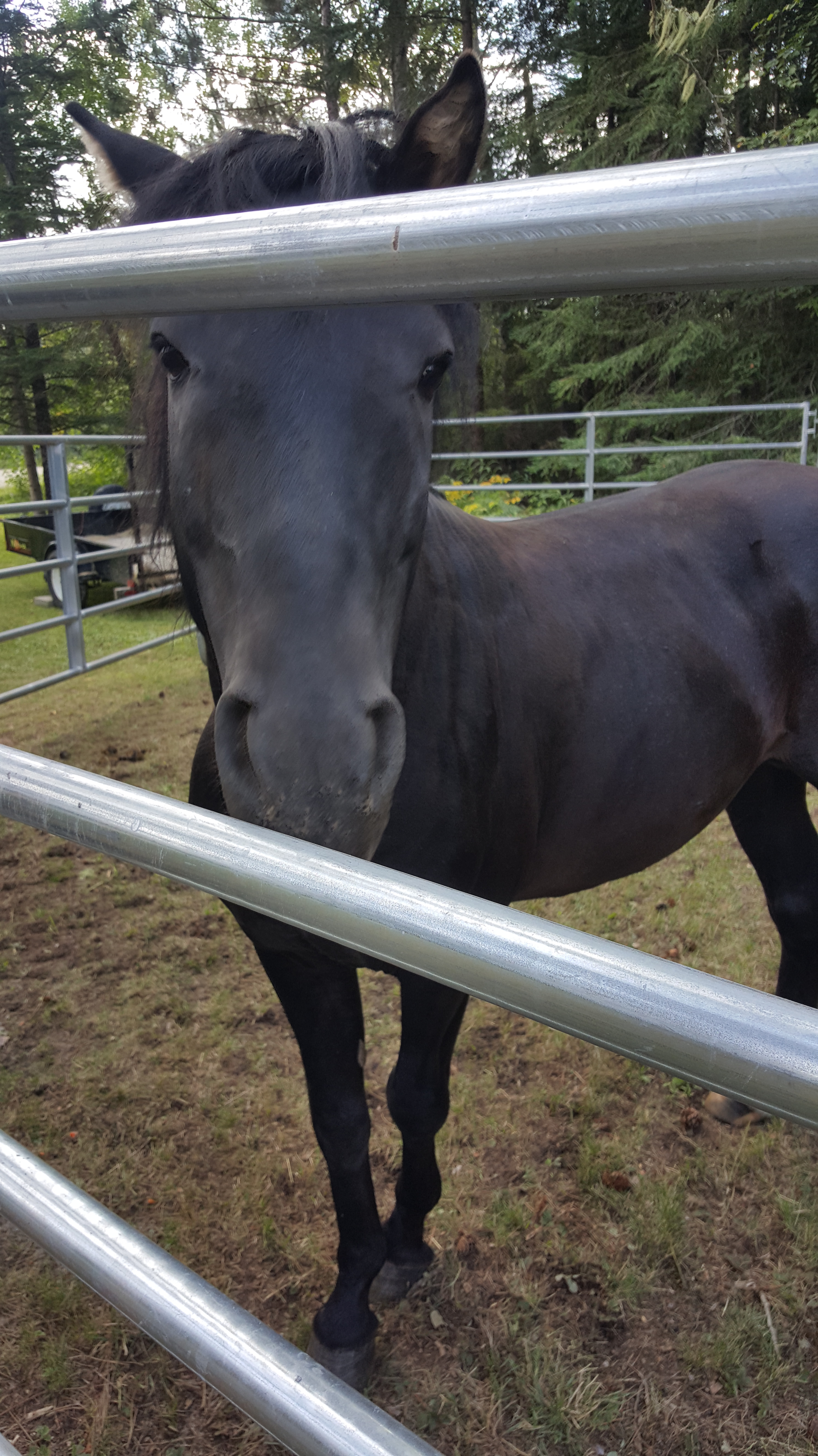
In the late 1970s, the horses almost went extinct for a number of reasons, including systematic efforts by European settlers to destroy them, and the rise of motorized technology.

In my story for Lake Superior Magazine (“The Horses Nobody Knows”), I describe how the breed was saved from the brink of nonexistence and what they mean to the Ojibwe today. It’s the longest article I’ve ever written. I had to wait a year for it to get published, which was extremely hard, because, you know, horse mania.

Learning about an unknown part of my home state’s past was exciting. I thought I knew every breed. As it turns out, there was a unique breed almost in my back yard, so to speak, that needed help.

I was more than happy to resurrect my horse crazies and put my writing talents to use to help raise awareness about the Ojibwe horses’ plight. If you’d like to donate to Grey Raven Ranch to help these special horses, they have that option on their website.

Anyone got a ranch they want to sell me?

Biking Along the Giant’s Ridge

Russ biking across the 3/4-mile floating bridge on the Mesabi Trail.

The Mesabi Bike Trail website offers a rather hokey legend about how this part of northern Minnesota came to be named “Mesabi.” Basically, it describes how native peoples thought of the glacier(s) that covered the far north during the Ice Age. The story says the area was “guarded by this great white giant, so large that he could not be seen over. He could not be walked around.” The early people named him Mesabi, which means “a great and stout giant man.”

When the weather warmed and the giant grew weak, he retreated, uncovering a land of abundant forests, lakes, and farmland. The Mesabi Bike Trail traverses 135 miles (of a planned 155 miles) through this terrain.

Russ and I had the opportunity to bike several sections of the trail this summer. Thanks to unseasonably warm weather on a weekend earlier this month, we had the chance to pull on our biking shorts and explore more. We took the Giant’s Ridge Spur, which we reached from the parking lot of the Giant’s Ridge Recreation Area near Biwabik, Minnesota.

Our goal was to make it across an extensive floating bridge that crosses a bog near the end of the spur, a 16-mile round trip. This goal was no big deal to Russ, a retiree who routinely bikes 50 miles at a pop, but for me, a person whose life is still ruled by working for a living, it would be the longest trip of the season.

I’ll cut to the chase: we made it! The trail runs through remote country, passing regrown timber lands and beaver ponds, and crossing cabin driveways. A relatively new section climbs up a rather large ridge – high enough that it sports cell phone towers on top. The trail on other side of the ridge features at least a half-mile downhill stretch that you can just blast down. The metal floating bridge is at the bottom; it runs ¾ of a mile through a wetlands in the Darwin Myers State Wildlife Management Area (WMA). The trail turns to gravel at the end of the bridge for a short stretch through the rest of the WMA.

Of course, going downhill means you have to go uphill on the way back. I needed to walk my bike a couple of times, but the fun I had during the downhill runs on the way out were totally worth it.

Soon after our bike trip, Old Man Winter returned with snow, so we put our bike shorts away for the season. Unlike those who lived during the Ice Age, at least we can look forward to taking them out again on the other side of winter.

Seeing snow on the runs at Giant’s Ridge while we were biking in shorts was strange.

The Lake That Speaks: Mini-Minnesota Vacation #3

Lac Qui Parle, viewed from the Upper Campground

Russ and I have been sticking close to home lately, but not that close. Our last mini-Minnesota trip with our Scamp took us to the western prairies. We visited Lac Qui Parle State Park, which in French means “the lake that speaks.” (Or “lake which speaks.” But I can’t bear to use a “which” when a “that” will do.)

We lucked out, launching our weekend trip on a couple of the last unseasonably warm days of the season. We arrived at our Scampsite (in the Upper Campground – better view of the lake) on a Friday evening. We ate our supper on a picnic table overlooking this natural impoundment of the Minnesota River, formed by glaciers long ago. The lake earns its name because it’s a migratory stopover for thousands of birds in the spring and fall. A better name for it, perhaps, would be “the lake that sings.” During those times, visitors will hear a chorus of quacking and honking. Not many birds were around during our stay, but we did hear some Canada geese and murmurations of starlings.

Watching the orangey sunset in the big sky, we felt like we were stealing the last warmth before fall. Unlike our previous mini-trips to Lake Superior’s North Shore, trees were scarce at this campground – only a few, since we had crossed over into prairie country. We awoke in the morning to the sounds of gunshots – pheasant hunting season.

Our Scamp makes friends with one of the only trees near our site.

Saturday was forecast for warmth, so we planned to visit a farm where Russ’s daughter works and spend a few hours canoeing down the Chippewa River with her. I must admit I am spoiled by northern Minnesota Rivers. The Chippewa, which flows through agricultural land, looked a bit murky, but the cloudy water was overshadowed by the brilliant golden fall colors of the trees along its banks. The park offers canoe rentals if you want to explore the lake or the river. We were lucky enough to score our watercraft from the farm.

Water levels were low, so we needed to be on the lookout for shallows. We navigated many rapids – most Class I, which would have been more fun in higher water. Eagles visited us on the way, along with some mysterious waterfowl we never got close enough to identify.

The Chippewa River

On our last morning, we hiked the mown trail from the campground down to the lake. Then we walked up to the road and crossed it to see the largest cottonwood tree in Minnesota. One would expect a tree like this to be near the water, but it was up a hill and down the other side, many hundreds of yards away from the lake.

This grandmother tree is truly impressive. My pictures do not do it total justice. I thought I had seen large cottonwood trees before, but they pale compared to the girth of this one.

Just part of Minnesota’s largest cottonwood tree.

Here are some pros and cons of the Upper Campground at Lac Qui Parle.

PROS

  • The campground was quiet during the day and night.
  • Sites are spaced far enough apart to feel private.
  • Hiking trails are nearby and so are towns, if that’s your thing.

CON

  • There are hardly any trees in the campground, but this is a prairie, after all!

That’s it for our mini-vacations. Snow has arrived and we’ve stored the Scamp for winter, resting up for future adventures.

You would be hard-pressed to find a more scenic outhouse anywhere.

Temperance River State Park, Minnesota

When last you saw us, Russ and I were thwarted in our attempts to bike along the North Shore of Lake Superior by cold weather and lack of appropriate clothing on my part. As an alternative, we decided to hike somewhere we had never been before. This turned out to be along the Temperance River.

The trailhead is extremely easy to reach – it’s right along Highway 61, with parking on both sides of the road. (The trailhead is on the side opposite Lake Superior.) Russ and I had driven past the park roughly a bazillion times but were always going somewhere else. We were so glad we stopped this time!

The first part of the trail takes you to a plunge pool, which is at the base of a waterfall hidden back in the rocky clefts. At the end of the Ice Age, the waterfall wasn’t so hidden. Torrents of melting glacier ice cascaded over the rock ledges, creating a waterfall that was 300 feet wide, or so said the interpretive sign along the trail.

We hiked along the river gorge on the Superior Hiking Trail about eight-tenths of a mile to the upper falls and then backtracked to return to our car. With lots of rocky ledges to clamber and scenic river vistas around every turn, this trail would be a perfect way to get sullen teenagers excited about nature. Although there are some stairs to climb, most of the trail is relatively easy if you are able-bodied.

The river gorge is super gorgeous. I kept wondering why I’d never heard my friends who know the North Shore rave about it, because it certainly is rave-worthy. My photos only capture a minor part of the beauty.

If you do go to the Temperance River, please remember to practice social distancing and carry out your trash. The park looked clean when we were there, but I know that some parts of the shore are being over-loved and over-travelled lately.

The hidden falls.

A Mini-Minnesota Vacation: Cascade River State Park

The main falls on the Cascade River.

For mini-vacation #2, Russ and I meandered with our thirteen-foot Scamp trailer to Cascade River State Park on the North Shore of Lake Superior. (Interested in mini-vacation #1? Read about Lake Vermilion State Park.)

I must admit, one reason we chose Cascade River was because it had camping reservations available during the time we wanted. Another reason is that, despite innumerable trips along the North Shore, neither of us had spent any time there. It was a good excuse to see some new sights.

We decided to add a little glamour to this outing, just for fun. Before we left Duluth, we made dinner reservations at The Strand restaurant at Lutsen Resort, which is just a 15-minute drive from the campground, and for a wine tasting at the North Shore Winery, also at Lutsen.

Because it’s late in the camping season, the shower building wasn’t open at the campground, so we decided to go the restaurant our first night (of two). We weren’t sure how presentable we’d look later!

Before I go into the long description of our stay, I’ll offer some Cascade River Campground pros and cons for those of you in a hurry.

PROS

  • Although the campground is located near a highway, it was quiet at night.
  • A short hike takes you to the river’s scenic falls and to Lake Superior. Plus, there are many options for other hikes.
  • Near the many civilized attractions of the North Shore at Lutsen and Grand Marais.
  • We saw a bear!

CONS

  • The sites offer little privacy. The lack of vegetation between them made us feel like we were living in an outdoor fishbowl sometimes.
  • You can hear the highway during the day.
  • The squirrels and chipmunks are habituated to people – watch your food!
  • We saw a bear, which made going to the outhouse in the middle of the night a sketchy affair.

You can’t check into your site until 4 p.m., so we only had enough time to plug in our camper and take a quick hike along the river and shore before we needed to leave for dinner at Lutsen. The waterfall cascades that the park is named for are just a short walk directly from the campground, and Lake Superior is not far downstream, so we were able to see a lot in just an hour. We had time to plunk ourselves down on a rock along Lake Superior and shake off the worries of the city.

Soon, it was time to hike back to our site and drive to Lutsen. This is the first restaurant we’ve eaten inside since COVID. We felt that by now, most restaurants should have their safety act together regarding the virus, especially a place like Lutsen, which sees a lot of tourists. We decided the food was worth whatever slight risk it might entail.

The image from our table at The Strand Restaurant.

I’m not sure how we managed, but we scored a table right by a window overlooking the lake. While we ate, we watched the sun set in muted pinks and purples – a perfect accompaniment to our food. For starters, Russ had the North Shore salad, which features blueberries, candied pecans, and a blueberry vinaigrette dressing. I had a cup of the Red Lake wild rice chowder.

My tastebuds were in heaven! I’ve eaten many chowders in my day, but this ranks among the top. I could tell it was made with real cream, hand-harvested wild rice that was fluffy and tender, and care. The flavors were perfectly balanced, and the soup wasn’t too salty.  I would have just been happy with the soup, but there was more!

For entrees, Russ ordered the night’s special, which was a rack of lamb. I ordered the sea scallops. Russ was very happy with his, and I was, too. My scallops were seared to perfection and accompanied by an asparagus puree and root vegetables. As I dined on the parsnips, I was transported back to my childhood when I used to help my father harvest parsnips from our backyard garden. And then a bite of scallop zinged me over to the seaside, but I didn’t mind!

We decided to go for the gusto and ordered dessert. Russ had the apple pie ala mode. I had the flourless orange chocolate cake. Once again, a win, although my cake was not shaped like any piece of cake I’ve ever seen before. It was rather like a tall blob. But it was a good blob. I ate it all. Well, Russ had to help with the last few bites because I was stuffed.

On our sated drive back to the campground, our headlights shined on a black bear crossing the road near the entrance. We had already noticed signs everywhere in the campground about bears, and this proved them right. Thankfully, the bear was headed away from the campground.

Despite being near the highway, the campground was quiet at night. It was also cold. Both nights were near freezing and we were glad we brought extra blankets.

The next day we hiked to Lookout Mountain, which was about a 2.6-mile round trip. The cold nights hastened the fall colors, which were especially spectacular to see from the mountain overlook. We also took in more waterfalls along the river.

Then it was time for Thursday-night date night at the North Shore winery. From 6-8 pm you can listen to music and try flights of their red or white wines and hard ciders. It surprised us that the event was all outdoors. That’s not mentioned anywhere on their website or when you call them for a reservation. It was a bit nippy spending a couple of hours outdoors on a September evening, but thankfully, we happened to be dressed for the occasion.

I tasted a white flight and Russ a red. None of the whites did much for me, but Russ liked some of the reds, enough to buy a bottle of their oak-aged petite syrah for home. The winery also offered munchies with the wine, like salami bites, cheese, and truffles. I was impressed by the flight of truffles from the Gunflint Mercantile in Grand Marais. The flight consisted of blueberry, espresso, triple chocolate, maple, and dark chocolate raspberry.

The maple was my fave – creamy and not overpoweringly sweet. I liked it enough to order a dozen once we returned home. I was especially delighted when they eventually arrived to discover they were about twice as large as the ones we had at the winery. So good!

The white flight of wines from North Shore Winery, plus a flight of truffles.

On our final day we had plans to bike on the Gitchi-Gami State Trail but were thwarted by the cold. On a whim, we decided to visit another place we never have had the opportunity to explore before: Temperance River State Park. But I will save that for another post.

Bog Birding Bust

I have heard about the Sax-Zim Bog in northern Minnesota for years, decades even. During winter, it’s a birding mecca – home to many rare owls and other species that visit from the arctic when food and weather conditions get too dicey up there. Birding is good during summer, too. The bog is a place where birds can nest in their natural habitat, relatively undisturbed.

Russ and I had a chance to visit the bog over Labor Day weekend. I’m getting back into birding and was excited to finally be seeing this place I had heard so much about. It’s even mentioned twice in “The Big Year,” a 2011 movie that stars Rosamund Pike, Jack Black, Owen Wilson, and Steve Martin. However, no filming was done on-site, so viewers never get to see the bog. The closest is when Owen Wilson’s character spends Christmas at a Chinese restaurant in Duluth, which is about fifty miles away. I suspect even the restaurant was fictional because it didn’t look like any I’ve ever seen in my hometown.

The Welcome Center

Anyway, so I was psyched to visit the bog. I thought since migration season had started, we might have a good opportunity to see birds moving through the area. We pulled up to the visitor center (which is closed now, opens mid-December through mid-March) and hiked the trails that go out from it. There’s a loop trail that starts at the parking lot and a Gray Jay Way that begins at the visitor center.

After all these years of anticipation, maybe I was expecting too much. We only saw a thrush (probably a Swainson’s), blue jays, and the chickadees and nuthatches found everywhere in the north. I was disappointed.

But it was neat getting a close look at a bog and learning the history of the area from the interpretive signs near the welcome center. For instance, I never knew that Jeno Paulucci, famed creator of Pizza Rolls and Chung King foods had a celery farm near the bog.

Gray Jay Way ends with a viewing platform where visitors can see the remnants of ditches that were dug in the early 1900s to drain the bog land for farming. Russ and I pushed through the undergrowth for a better look at the ditch junction. The dark bog water lay acidic and still on the landscape, lending an eerie air to the place.

On our way home, we stopped at one of three boardwalks in the bog: The Warren Woessner walk. We marveled at all the work that must have gone into its construction. We had a pleasant walk but didn’t see any more birds.

When I got home, I asked the executive director of the Friends of the Sax-Zim Bog what was up with the lack of birds. Was this just a bad time to look? Sparky Stensaas said this is the worst time of the year for birding in the bog. Just my luck!

Sparky and I go way back to when we used to be on the board of the local Audubon Society chapter. He took over editing the chapter newsletter from me a loooong time ago. Or did I take over from him?

Sparky also said that the visitor center is only open during the winter because that’s when 90% of the visitors come, but that they probably won’t be open this winter due to COVID. Guess I’ll have to content myself with watching the videos Sparky made this spring and summer, which show there really ARE birds in the bog.

So, don’t be like me. Don’t go birding at the Sax-Zim Bog in September.

Biking the DWP

20200815_151705
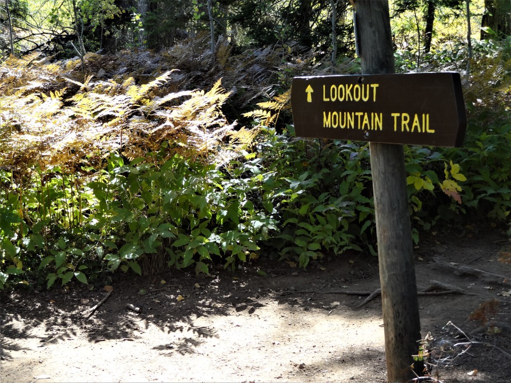
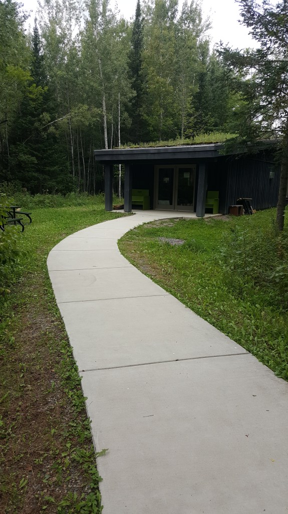
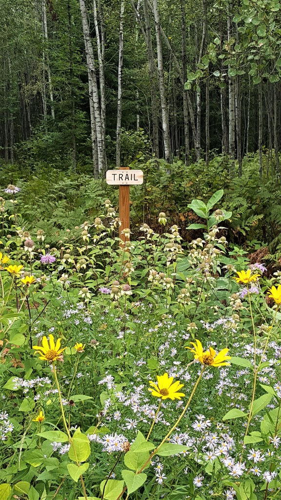
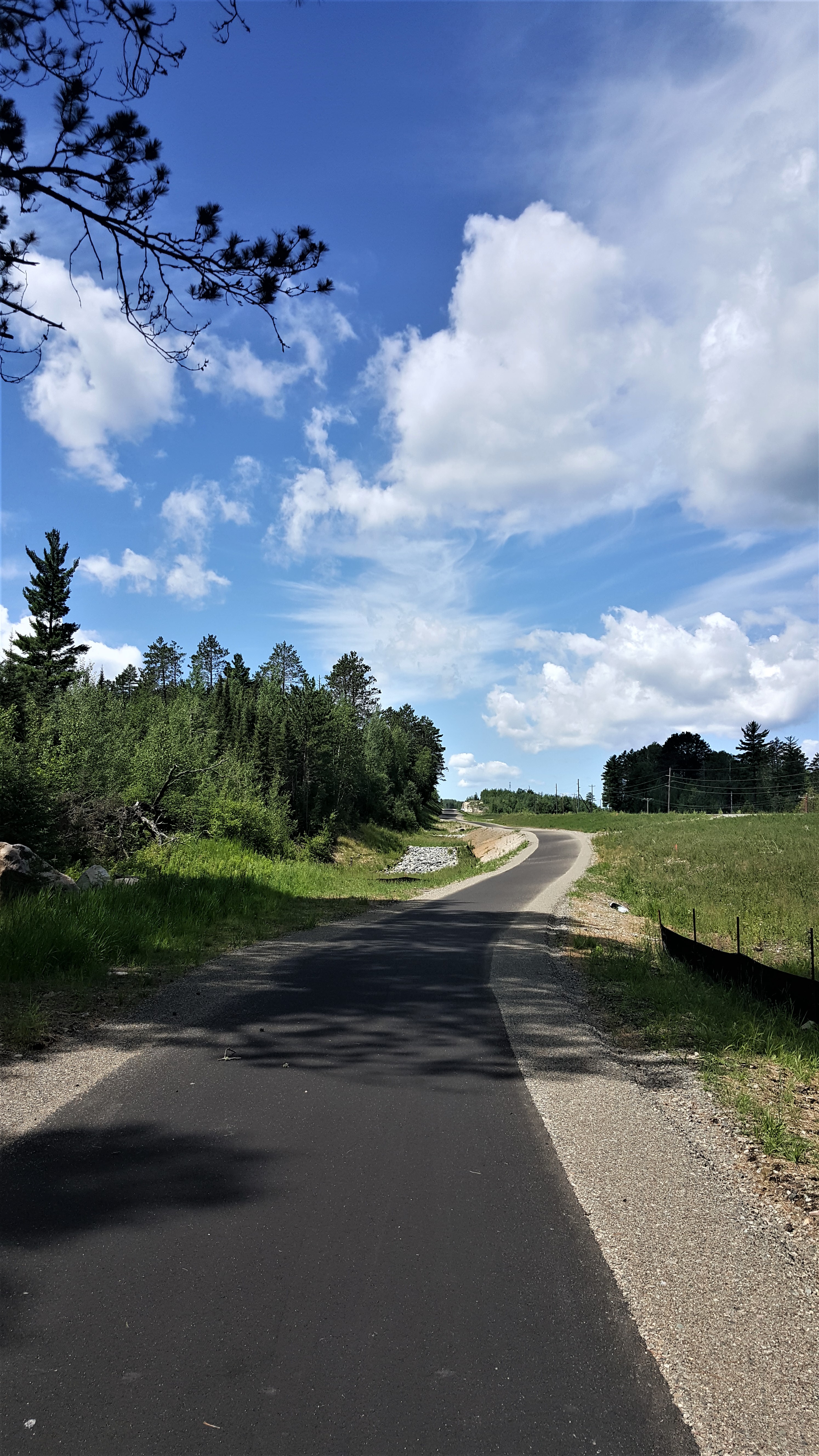
If you are a Duluthian or just want to be Duluthy, and you are tired of biking the Munger Trail, try its wild, more adventurous twin, the Duluth, Winnipeg and Pacific Railroad Corridor Trail. I call it a twin because, like the Munger Trail, it follows an abandoned railroad line and passes over a similar geography. But the DWP is wilder and more adventurous because it’s gravel, less developed, and fewer people use it.

20200815_154215We accessed the DWP from Spirit Mountain’s Grand Avenue chalet. If you go up the ski hill about 200 yards from the chalet, you will run into the trail, which crosses the hill. You can also access it from a gravel road and trail system to the right of the chalet, but those are technically closed this season due to COVID-19.

Take a left, and you are on your way to new vistas, a couple of updated trestle bridges, and a tunnel. The 10-mile trail will take you to Ely’s Peak, Becks Road, and eventually to Proctor. When we arrived at Ely’s Peak tunnel, rock climbers were scaling the outside walls, testing their nerve and equipment.

We turned back at the tunnel. Later, while resting on a bridge, we had the chance to speak to a family who said they biked to the Buffalo House and had lunch before biking back to the parking lot at the chalet.

We hope to do the rest of the trail next time!

20200815_161259

A Mini-Minnesota Vacation: Lake Vermilion State Park

20200715_211056

A vermilion sunset on Lake Vermilion. Night One of our stay.

Since nobody wants Americans in their countries right now, Russ and I decided to take several local camping trips. For mini-vacation #1, we trailered our thirteen-foot Scamp to Lake Vermilion State Park, a newish development in northern Minnesota.

20200716_130318
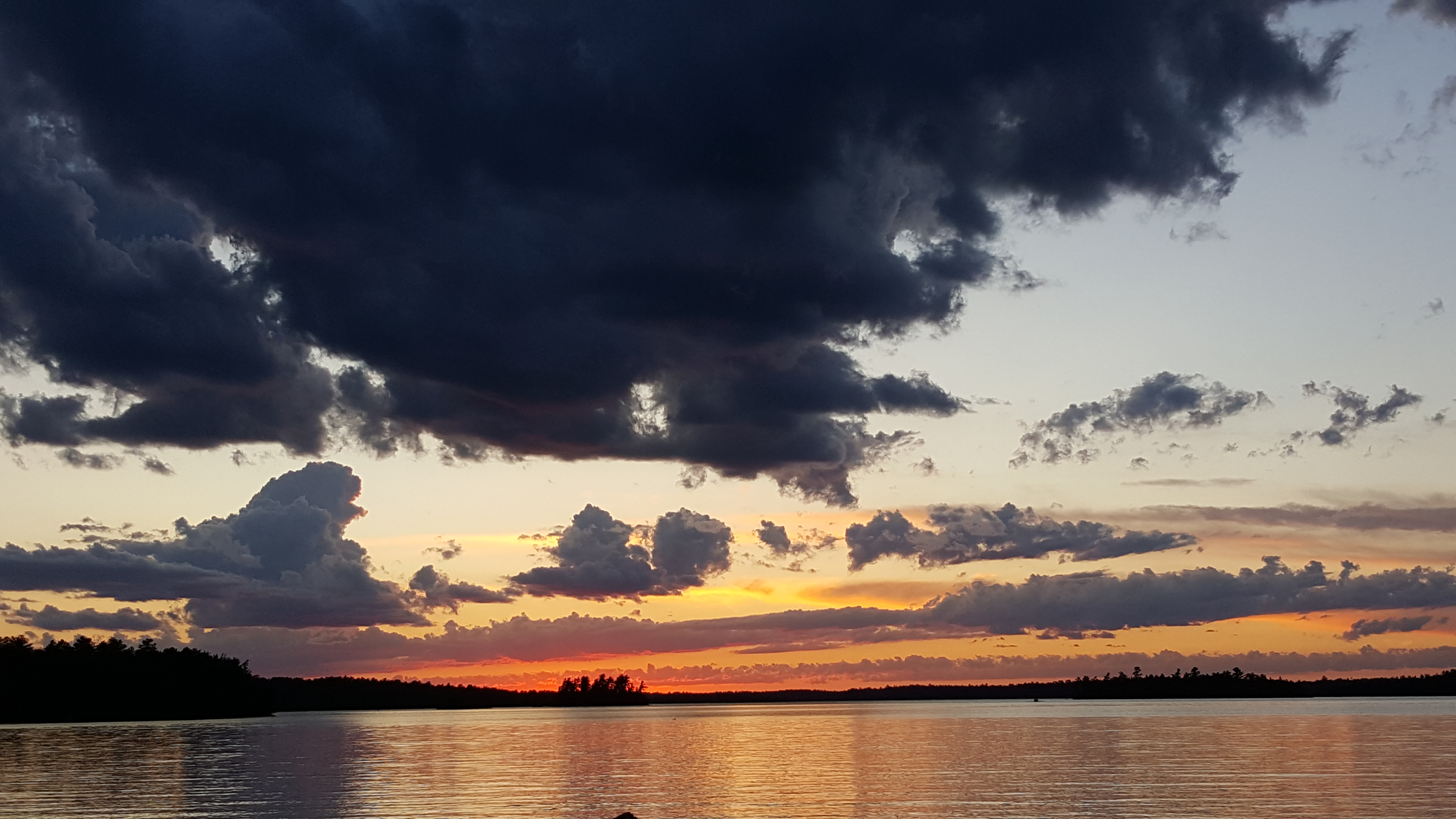
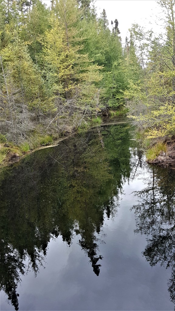
I’ve spent some time on Vermilion Lake before but had not been to the park yet. This large lake is reminiscent of the Boundary Waters Canoe Area Wilderness – same rocky shorelines, scraggy spruces and towering pines – but development is permitted (outside of the park) so lots of cabins and lake homes line the shore.

There’s also an historic iron ore mine located in the park. When viruses aren’t running rampant, underground tours are offered, which are an interesting way to learn about the importance of Minnesota’s Iron Range.

We spent two nights in the Vermilion Ridge Campground. We brought our kayak, paddleboard, and bikes, and used them all, even though the weather wasn’t that good. We went during the week because all of the weekends for the summer were booked already – apparently, everyone else had the same idea to travel locally.

Here are some pros and cons we discovered.

PROs

  • A nice boat launch. You can use it if you have a state park sticker, otherwise, I think there’s a daily fee. (Staying at the campground requires a state park sticker, which you can apply for at a self-service kiosk when you enter the park.) We found that the boat launch dock was a good place to watch the sun set. That’s where I took some of the photos that accompany this post.
  • Close to the Mesabi Trail. This is a bike trail that spans 135 miles across the north. It’s not all completed yet. The section near the campground seems new. We were able to bike to it from our site and ride 4-5 miles toward Ely before the pavement stopped. Someday, the trail will reach Ely.
  • There’s wifi! If you need to keep in touch with friends, family, or social media while you’re in the woods, you can.
  • Quiet. The campground was quiet at night and there’s a good screen of trees between sites, which affords some privacy.
  • New pavement. The campground was constructed about ten years ago and work is still being done on the roads. All the pavement (including the bike trails) is smooth and new – a dream for longboarders, bikers and inline skaters.

20200716_205737

Sunset on Lake Vermilion, Night Two.

CONS

  • No swimming beach. There’s no good place to swim in the park. A drive is required to reach local beaches on the lake.
  • Hard to get a reservation. Like I mentioned, we had to go in the middle of the week because summer weekends were filled already. Plan ahead to get the dates you desire.
  • The campsites aren’t on the lake. They are farther inland. I suppose this is better for the health of the lake, but it would’ve been more scenic to be near the water.

20200716_150534

A building at the Tower-Soudan iron ore mine.

Another thing to know before you go is that you can’t bring your own firewood or gather it in the park. You’ll need to pay a fee to use wood the park provides. I think this has to do with not spreading the emerald ash borer beetle.

20200717_114710

An idyllic scene from the Mesabi Trail.

If you go, we hope you enjoy the park as much as we did. Buddy liked it, too!

20200716_204347

Buddy, a goldendoodle naturally highlighted by a golden sunset.

Say Hello to the Great Lakes!

MKEmag_ad3

I’m psyched that a photo of Lake Superior I took while on vacation last year is being used by my employer for ads that will soon appear in “Milwaukee Magazine” and the Milwaukee Airport. The ads are designed to increase awareness and appreciation for the Great Lakes.

I took this photo from the top of Spar Island during a sailing trip last year. (Read about it and see more photos in my blog post about the trip, “Wilderness Sailing in Canada, eh?“)

We need to do all we can to protect this source of life for so many!

Paul Wellstone and the Chickadee

20200404_135718
Russ, Buddy the Wonderdog, and I recently nudged our way north to visit the outdoor memorial to Minnesota Senator Paul Wellstone. Wellstone, his wife Sheila, one of their daughters, and several aides died in a plane crash in 2002, along with the pilots, near the small town of Eveleth, Minn.

I never saw the senator in person, but I had contact with his staffers in the 1990s, particularly Kim Stokes. This was early in my career when I worked in public affairs for the Forest Service. Part of my job was coordinating responses to inquiries from federal congressmen and representatives who received complaints from their constituents about Forest Service activities in the Superior National Forest.

I would receive the letters, decide which Forest Service person should write a response (sometimes this was me), and then follow up, making sure the Forest Supervisor signed the letter and that it got mailed. I know, snail mail – how quaint!

I always enjoyed my discussions with Kim. She was so enthusiastic about the democratic senator, which wasn’t something I usually heard from staffers for other federal legislators. That piqued my interest, and I watched Wellstone’s career from afar.

Despite early public relations gaffes after his election in 1991, the short, feisty, and energetic senator learned from his mistakes and became an effective leader. He even explored a run for the presidency, but did not seek it due to health issues, which ended up being multiple sclerosis.

One of his well-known quotes is, “We all do better when we all do better.”

20200404_123600
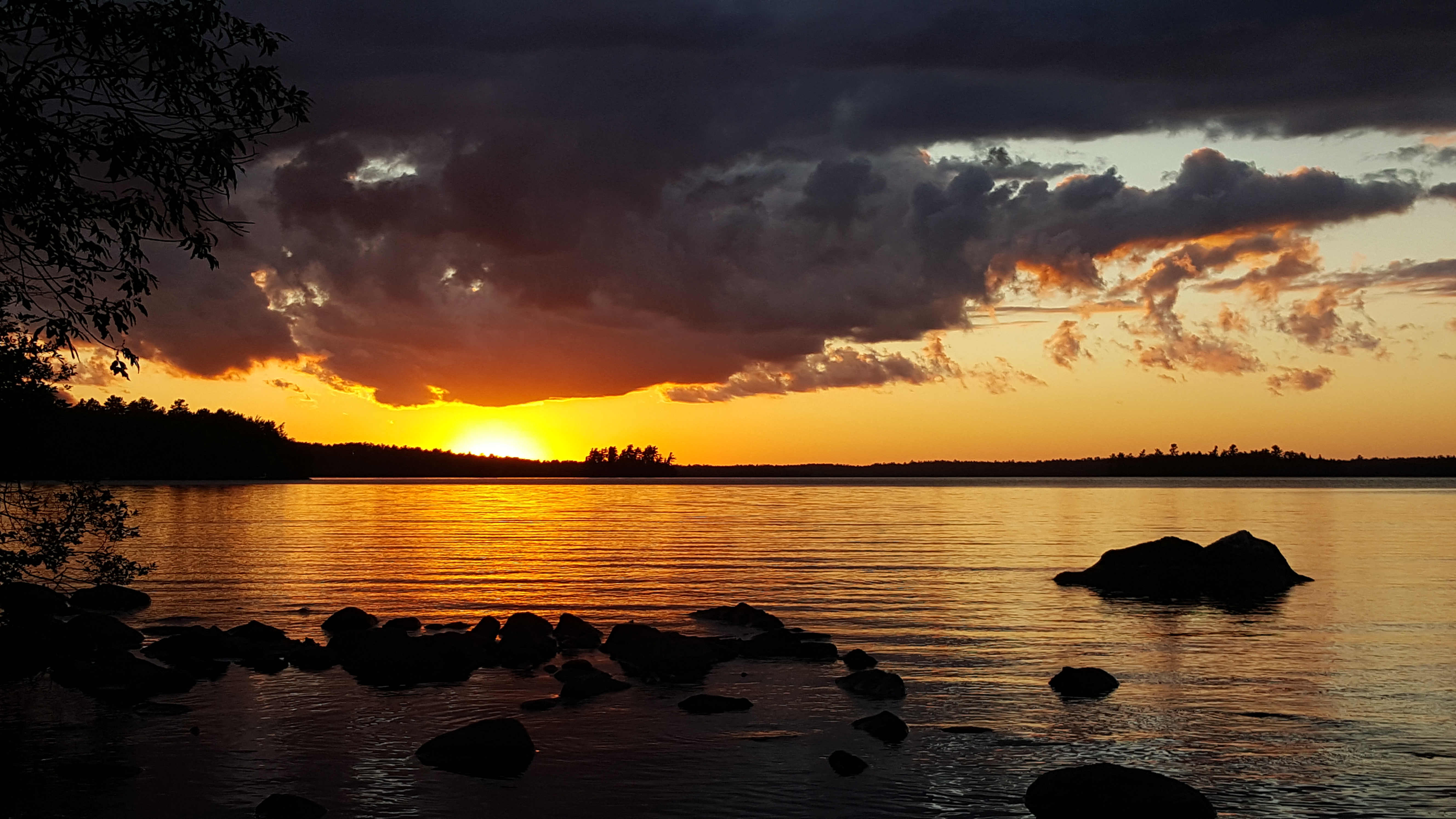
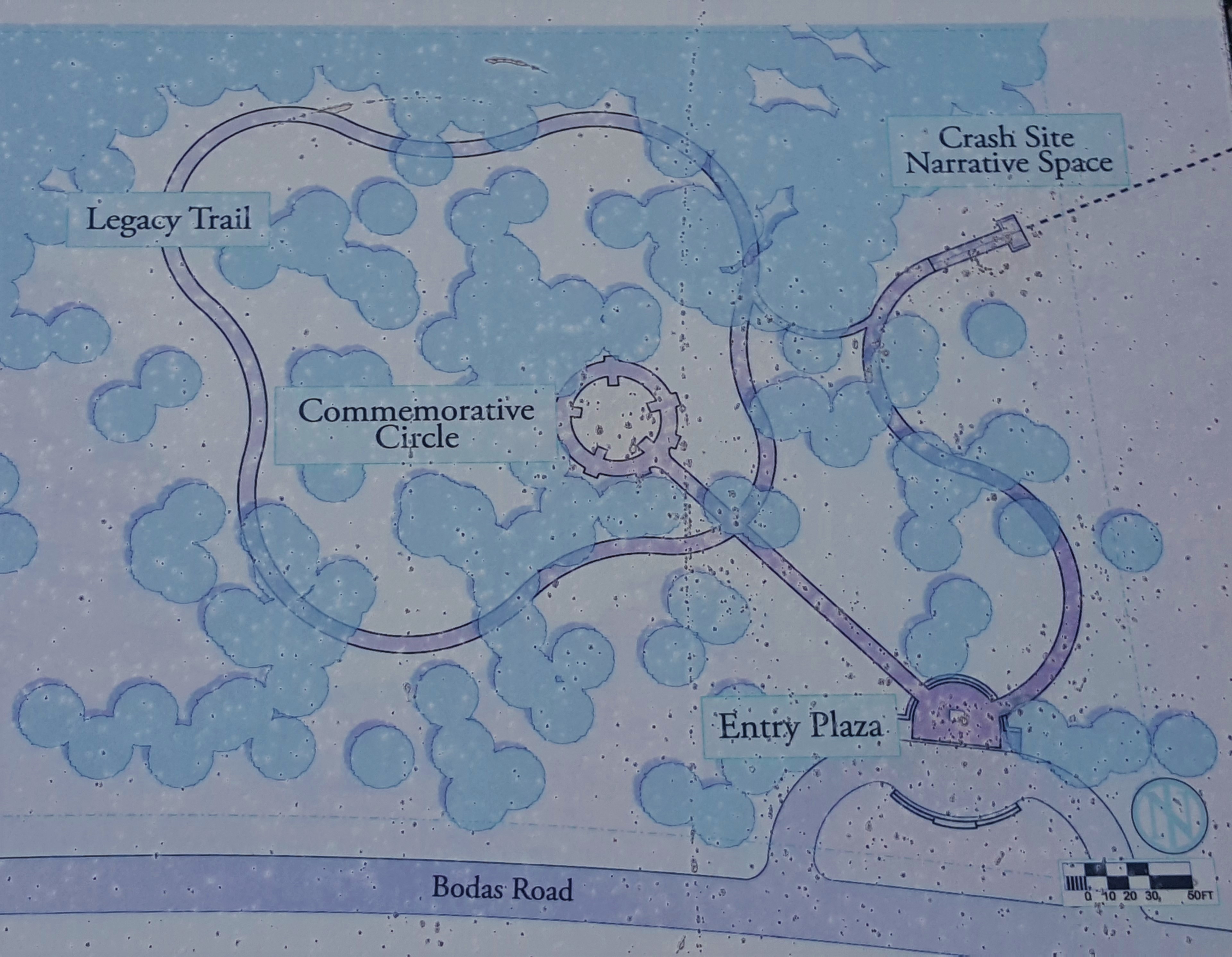
Russ and I had driven past the signs for the memorial off Highway 53 several times and finally had the time to stop. The first thing to greet us in the parking area was poetry. A snow-covered stone mantle sat at the entrance to the memorial. We brushed off the snow, trying to read the poem that was etched into the rock. We couldn’t do this because of the moisture, but were able to make out some of the words later, after they had time to dry.

After visiting the commemorative circle, which featured monuments made of local stone to those killed in the crash (except the pilots), we walked the surrounding legacy trail. The path was covered by about a foot of snow, and it didn’t look like anyone had been there in at least a week. Sinking through the crunchy thin snow crust every other step, we gingerly made our way, marveling at the quiet sun streaming through the skinny pines. Interpretive signs lined the route. After brushing off the snow, we read about Wellstone’s career progression.

20200404_135841

An image of Wellstone from his college professor days at Carleton College in MN.

The final sign on the route was dedicated to his wife, Sheila. The feminist in me did not appreciate this. I thought her sign should have occurred earlier on the trail, perhaps after the sign about their marriage, because I’m sure Paul could not have accomplished even half of what he did without her support. Having her sign at the end seemed like an afterthought.

After coming full circle back to the poetic entry, we walked the trail to the crash site narrative. The trail ended in a viewing platform about 2,000 feet from the actual site. Signs on the platform described the lives of the people lost. Descriptions of the two pilots were notably absent, but I suppose this was because the crash was deemed their fault, combined with poor visibility.

20200404_140053

Looking down the peaceful legacy trail.

As we stood, looking out into the pines, a flock of chickadees twittered among the branches. One brave, energetic bird alighted only two feet from me, calling loudly, as if berating me for intruding. I extended my gloved hand to see if the bird would land, and made a “phish, phish” sound that often works to attract birds.

This feisty little guy was too smart for that. He stayed where he was, continuing his call. Eventually, he flew away to join his friends.

The chickadee reminded me of Wellstone. I would like to think his spirit and those of the others in the crash were somehow absorbed into the forest and live on there.

Wellstone leaves a political legacy in the form of the legislation he passed and in Camp Wellstone, a training program for people interested in political action. His wife Sheila’s legacy lives on in her tireless work against domestic violence.

With Buddy leading, we made our way back to our truck, filled with appreciation for these lives well-lived and duly recognized.