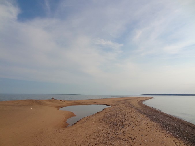
Taino Beach, Grand Bahama Island
I meandered away from the white snow of Minnesota to the white sands of the Bahamas for a week in February. My friend Russ and I stayed at a resort on Taino Beach in Freeport. Here are 5 things we did that you might want to do too, if you’re ever on the island.
This shopping and dining center is named after the native people who used to live in the Bahamas, the Lucayan. Since the International Bazaar is defunct in Freeport after several hurricanes, this is your best bet for retail therapy and live music. High-end shops (Columbian emeralds, anyone?) mix with tourist stalls that sell T-shirts.
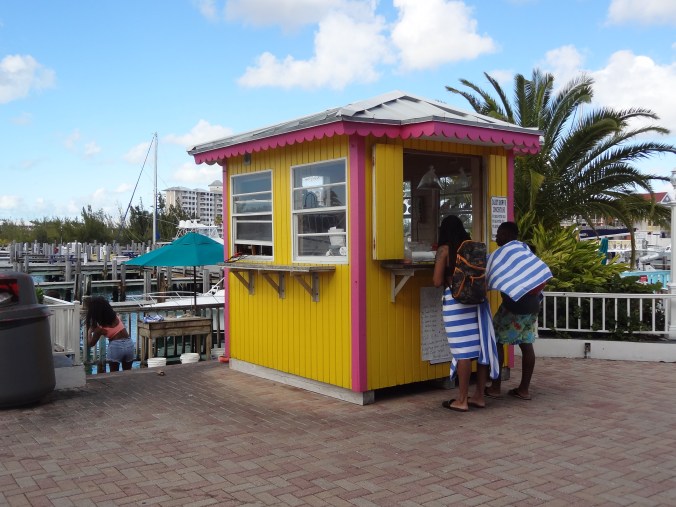
The conch stand at Port Lucaya Marketplace
We had drinks at the Corner Bar (best pina colada I’ve ever had!) and another day ate a wonderful lunch at Zorba’s Greek Restaurant (which serves the second-best pina colada I’ve ever had). The conch stand always had a line of people waiting to taste this sluggy wonder of the Caribbean. If we’d had time, we would have eaten at Cappuccino’s, an Italian place known for its dinners.

The second-best pina colada I had during our trip (at Zorba’s).
Take a walk on the wild side in this 100-acre natural area. It’s named after the Rand Family, who were early Freeport settlers and philanthropists. For a $5 entrance fee, you’ll get a short talk and orientation to the visitor center and then free run of the place. Grand Bahama Island is very flat, so the walking is all easy.

The pond at Rand Nature Center
You’ll walk through Bahamian pines and past a pond full of turtles. Besides wild lizards and birds, the trail takes you past cages with a captive red-tailed hawk, Bahama parrot, and a couple of boa constrictors.
Once back in the visitor center, take a look at the gallery, which features work of local artists. Our visit was very peaceful and restorative.
Wave Running
A WaveRunner tour of the island is on the opposite end of the excitement spectrum from the nature center. Our resort offered an exhilarating ninety-minute tour along the shore to Peterson Cay National Park, known for its healthy reefs and tern habitat.
This trip was Russ’s idea, so I let him do the driving. I hung on for dear life as we bounced on the turquoise waves. Our guide, Ricardo, showed us where dolphin shows take place, and we got to look through the fence and see a dolphin or two. We also motored along Millionaire Row, a canal lined with expensive homes.
 Then Ricardo took us back out to the sea to the cay, stopping once to point out a $20 million home along the beach. A couple from Massachusetts was with us on the adventure. Denise and Michael were able to keep up with Ricardo better than we were, but paid for it with two impressive falls off their machine.
As we neared Peterson Cay, Ricardo stopped and took a chum bucket out of his machine to feed the sea turtles that frequent the area. Unfortunately, they weren’t around, but he left some offerings for them anyway.
Once on the beach he dropped six tiny hermit crabs in my palm and seemed disappointed when I didn’t freak out. We only spent enough time at the cay to take some photos, then we went back to the waves. Normally, the tour stops at a beach bar on the way back for drinks, but we were so putzy, we didn’t have time.
Once we were back to the resort, Denise said, “I feel like we survived something!” Russ and I had to agree, but it was a fun adventure.
At least one business is still in operation in the defunct International Bazaar in Freeport. It’s the Perfume Factory, where they make colognes for women and men. They produce an impressive variety of fragrances all onsite by hand.

The Perfume Factory in Freeport
During our short tour of the “factory,” we saw their mixing room and production line. After the tour, our guide gave us samples to smell. My favorite was “Island Promises” for ladies, which is a mix of jasmine, lilies and patchouli. Russ liked the “Lucyan Bay Rum,” which features cloves and bay leaves.
If you don’t like any of their pre-mixed colognes, you can make your own and give it your own name. They will keep the info on file and you can order it again in the future.
On a day when it was too stormy to snorkel, we took a bus tour that included a stop at the Garden of the Groves, which is a manmade natural attraction. It features a café with a view of a waterfall. If you feel like getting married, there’s even a chapel onsite.
We got a half-hour tour with a talkative guide who gave us the lowdown not only on the garden, but on local culture as well. If you feel like meditating, there’s a labyrinth for that, plus winding trails through lush vegetation.
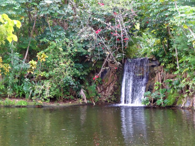
Garden of the Groves


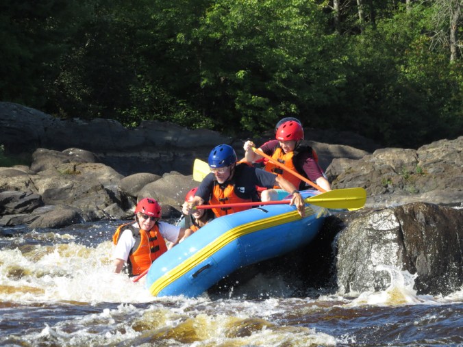
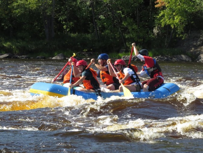
 I might write a magazine story about the trip, so I can’t describe it much here. Suffice it to say, the canoe portages were much harder than when I did them in college with six other people.
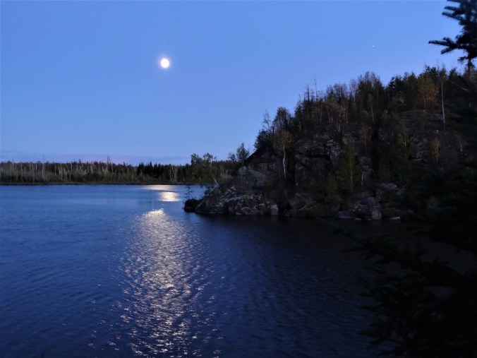


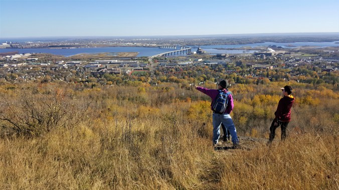
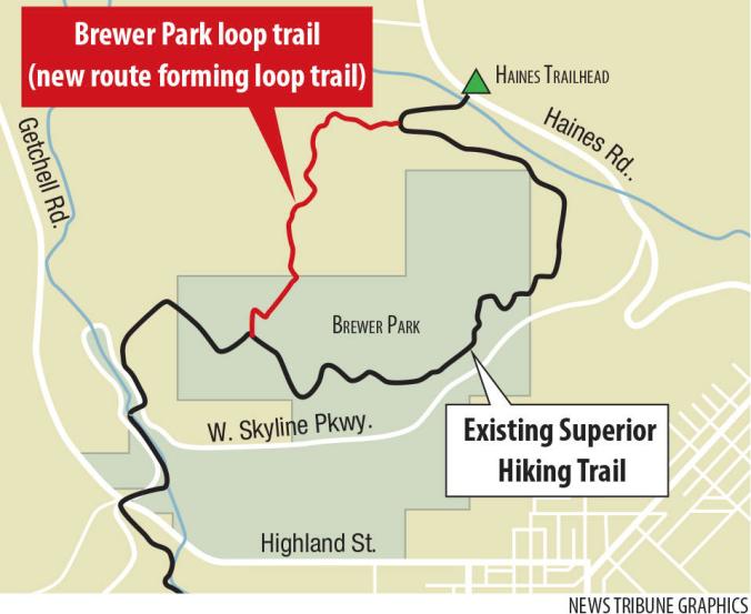
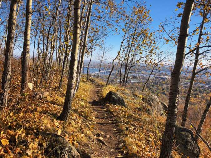
 I urge fellow Duluthians to put aside their prejudices and explore Superior. Get out there and get your
 The segment we travelled is 6.5 miles long. Most of it is a paved trail, but when you get near Wrenshall, you have to follow the highway for a while. At the 6.5-mile milepost, the trail seems to dead end at a highway. We weren’t sure where to go from there, so we just turned around and went back to Carlton, although I think there might be other parts of it farther on.
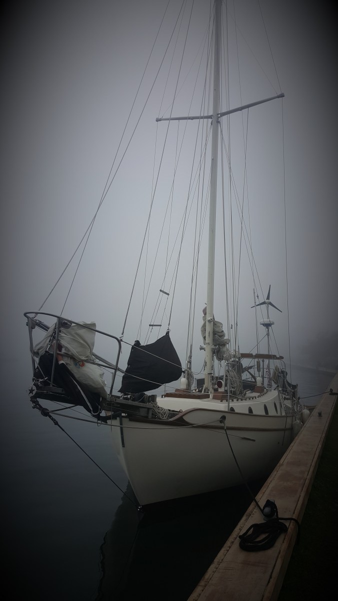
 My friend Russ was to hoist him up to the top of the mast so he could replace the block with a spare he happened to have on board. This feat would involve several ropes and climbing gear, along with the help of a winch. Russ was supposed to pull the rope by hand, which was wrapped around the body of the winch spool several times for support.